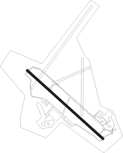
Ängelholm - Angelholm
Airport details
| Country | Sweden |
| State | Skåne län |
| Region | ES |
| Airspace | Sweden Ctr |
| Municipality | Ängelholms kommun |
| Elevation | 65ft (20m) |
| Timezone | GMT +1 |
| Coordinates | 56.29111, 12.85500 |
| Magnetic var | |
| Type | land |
| Available since | X-Plane v10.32 |
| ICAO code | ESTA |
| IATA code | AGH |
| FAA code | n/a |
Communication
| Angelholm Tower | 127.100 |
| Angelholm Tower | 132.450 |
| Angelholm SWEDEN | 124.850 |
Approach frequencies
| ILS-cat-II | RW14 | 111.3 | 18.00mi |
| 3° GS | RW14 | 111.3 | 18.00mi |
Nearby Points of Interest:
Stjernswärdsmonument
-Barkåkra socken
-Rebbelberga socken
-Hjärnarps socken
-Ängelholms stad
-Tåstarps socken
-Förslövs socken
-Munka-Ljungby socken
-Höja socken
-Grevie socken
-Farhults socken
-Välinge socken
-Össjö socken
-Össjö kyrka
-Starby socken
-Gravfält
-Ausås socken
-Tåssjö socken
-Strövelstorps socken
-Western Karup parish
-Källna socken
-Östra Karups socken
-Båstads socken
-Villa Sommarlek
-Råå kyrkogård
Nearby beacons
| code | identifier | dist | bearing | frequency |
|---|---|---|---|---|
| AH | ANGELHOLM NDB | 2.1 | 119° | 417 |
| LB | ANGELHOLM NDB | 4.4 | 302° | 370 |
| SVD | DME | 11.9 | 247° | 116.20 |
| LJU | LJUNGBYHED VOR/DME | 17 | 121° | 113.40 |
| MF | HALMSTAD NDB | 21.7 | 353° | 421 |
| LT | HALMSTAD NDB | 30.3 | 359° | 336 |
| BEL | DME | 39.3 | 237° | 114.65 |
| KAS | KASTRUP (COPENHAGEN) VOR/DME | 42.8 | 199° | 112.50 |
| SUP | STURUP (MALMO) VOR/DME | 48.7 | 145° | 113 |
| RK | ROSKILDE (COPENHAGEN) NDB | 49.4 | 232° | 368 |
Departure and arrival routes
| Transition altitude | 5000ft |
| STAR starting points | distance | inbound heading | |
|---|---|---|---|
| RW14 | |||
| XIRT2H | 21.0 | 172° | |
| NILE2H | 30.5 | 227° | |
| RW32 | |||
| NILE2G | 30.5 | 227° | |
Instrument approach procedures
| runway | airway (heading) | route (dist, bearing) |
|---|---|---|
| RW14 | GOKPU (149°) | GOKPU 2100ft PELAB (5mi, 242°) 2000ft |
| RW14 | IBEBI (120°) | IBEBI 2600ft PELAB (5mi, 120°) 2000ft |
| RW14 | VAPUB (102°) | VAPUB 2000ft PELAB (5mi, 62°) 2000ft |
| RNAV | PELAB 2000ft TA853 (4mi, 120°) 2000ft ESTA (6mi, 120°) 110ft TA604 (6mi, 120°) IDEXO (9mi, 353°) 2000ft IDEXO (turn) 2000ft | |
| RW32 | DITVA (279°) | DITVA 2100ft TA605 (6mi, 242°) 2000ft |
| RW32 | EXENA (300°) | EXENA 2600ft TA605 (4mi, 300°) 2000ft |
| RW32 | UPLAX (330°) | UPLAX 2000ft TA605 (5mi, 62°) 2000ft |
| RNAV | TA605 2000ft TA604 (4mi, 300°) 2000ft ESTA (6mi, 300°) 100ft TA801 (6mi, 300°) IDEXO (8mi, 88°) 2000ft IDEXO (turn) 2000ft |
Disclaimer
The information on this website is not for real aviation. Use this data with the X-Plane flight simulator only! Data taken with kind consent from X-Plane 12 source code and data files. Content is subject to change without notice.