Åmsele - Åmsele Airbase
Airport details
| Country | Sweden |
| State | Västerbottens län |
| Region | |
| Airspace | Sweden Ctr |
| Municipality | Vindelns kommun |
| Elevation | 719ft (219m) |
| Timezone | GMT +1 |
| Coordinates | 64.57928, 19.30584 |
| Magnetic var | |
| Type | land |
| Available since | X-Plane v10.40 |
| ICAO code | ESUA |
| IATA code | n/a |
| FAA code | n/a |
Communication
Nearby Points of Interest:
Lycksele stad
-Lycksele socken
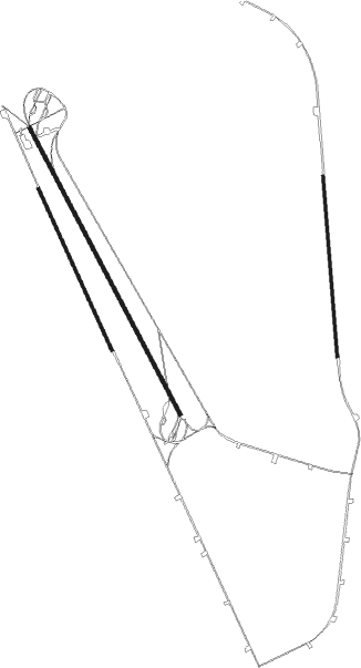
Runway info
Runway 15 / 33  | ||
| length | 2275m (7464ft) | |
| bearing | 135° / 315° | |
| width | 25m (82ft) | |
| surface | asphalt | |
| displ threshold | 0m (0ft) / 215m (705ft) | |
| blast zone | 0m (0ft) / 50m (164ft) | |
| Runway 14 / 32 | ||
| length | 1149m (3770ft) | |
| bearing | 127° / 307° | |
| width | 20m (66ft) | |
| surface | asphalt | |
| Runway 17 / 35 | ||
| length | 1270m (4167ft) | |
| bearing | 180° / 360° | |
| width | 20m (66ft) | |
| surface | asphalt | |
| Runway 16 / 34 | ||
| length | 1247m (4091ft) | |
| bearing | 140° / 320° | |
| width | 20m (66ft) | |
| surface | asphalt | |
Nearby beacons
| code | identifier | dist | bearing | frequency |
|---|---|---|---|---|
| OL | LYCKSELE NDB | 13.8 | 261° | 320 |
| DD | LYCKSELE NDB | 17.5 | 272° | 333 |
| VNA | VANJA NDB | 47 | 144° | 364 |
| UME | UMEA VOR/DME | 53.9 | 129° | 114.10 |
| AS | ARVIDSJAUR NDB | 59 | 4° | 358 |
Disclaimer
The information on this website is not for real aviation. Use this data with the X-Plane flight simulator only! Data taken with kind consent from X-Plane 12 source code and data files. Content is subject to change without notice.