Mellansel
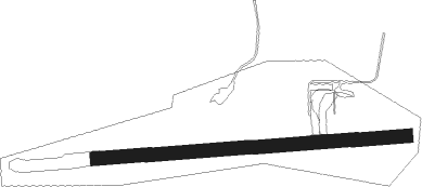
Airport details
| Country | Sweden |
| State | Västernorrlands län |
| Region | ES |
| Airspace | Sweden Ctr |
| Municipality | Mo District |
| Elevation | 269ft (82m) |
| Timezone | GMT +1 |
| Coordinates | 63.39194, 18.32055 |
| Magnetic var | |
| Type | land |
| Available since | X-Plane v10.40 |
| ICAO code | ESUI |
| IATA code | n/a |
| FAA code | n/a |
Communication
Nearby Points of Interest:
Mo socken
-Sidensjö socken
-Anundsjö parish
-Själevads socken
-Skorpeds socken
-Rock art at Åbodsjön
-Örnsköldsvik Town
-Björna socken
-Örnsköldsviks station
-Nätra socken
-Genesmon
-Arnäs socken
-Järveds kyrka
Nearby beacons
| code | identifier | dist | bearing | frequency |
|---|---|---|---|---|
| OD | ORNSKOLDSVIK NDB | 15.4 | 85° | 322 |
| OSK | ORNSKOLDSVIK VOR/DME | 18.1 | 89° | 115 |
| OO | ORNSKOLDSVIK NDB | 21.8 | 92° | 369 |
| KG | KRAMFORS-SOLLEFTEA NDB | 22.4 | 245° | 326 |
| LUE | LUNDE NDB | 33.5 | 224° | 427 |
| SUN | SUNDSVALL VOR/DME | 57 | 225° | 113.10 |
Disclaimer
The information on this website is not for real aviation. Use this data with the X-Plane flight simulator only! Data taken with kind consent from X-Plane 12 source code and data files. Content is subject to change without notice.