Bunge
Airport details
| Country | Sweden |
| State | Gotlands län |
| Region | ES |
| Airspace | Sweden Ctr |
| Municipality | Gotland Municipality |
| Elevation | 67ft (20m) |
| Timezone | GMT +1 |
| Coordinates | 57.85000, 19.03833 |
| Magnetic var | |
| Type | land |
| Available since | X-Plane v10.40 |
| ICAO code | ESVB |
| IATA code | n/a |
| FAA code | n/a |
Communication
| Bunge Bunge Tower | 123.400 |
Nearby Points of Interest:
Bunge socken
-Fårösund Fortress
-Hau 1:34
-G 319
-Rute socken
-Fardume slott
-Oljeproduktion på Gotland
-Fårö socken
-Groddagården
-Fleringe socken
-Gotlands runinskrifter 291
-Hellvi Church
-Hellvi socken
-Kyllaj
-Stora Takstens
-Gotlands runinskrifter 300
-Lärbro socken
-Lassor, Fårö
-Hallshuks fiskekapell
-Tängelgårda stone
-Hall socken
-Hangvar socken
-Gotlands runinskrifter 309
-Spillings Hoard
-Othems kyrka
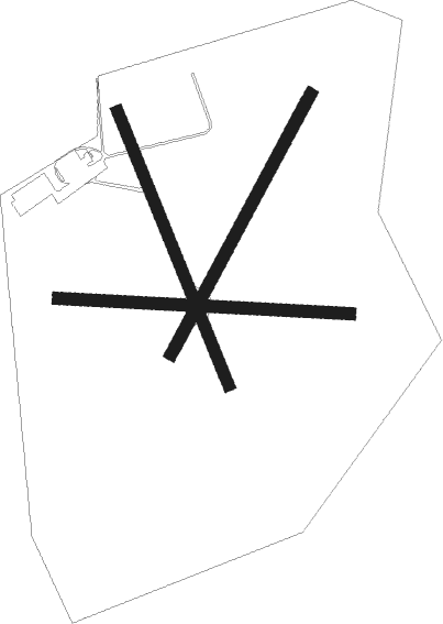
Runway info
Runway 03 / 21  | ||
| length | 675m (2215ft) | |
| bearing | 50° / 230° | |
| width | 28m (92ft) | |
| surface | asphalt | |
| Runway 09 / 27 | ||
| length | 669m (2195ft) | |
| bearing | 94° / 274° | |
| width | 28m (92ft) | |
| surface | asphalt | |
| blast zone | 110m (361ft) / 255m (837ft) | |
| Runway 16 / 34 | ||
| length | 675m (2215ft) | |
| bearing | 149° / 329° | |
| width | 28m (92ft) | |
| surface | asphalt | |
| blast zone | 70m (230ft) / 255m (837ft) | |
Nearby beacons
| code | identifier | dist | bearing | frequency |
|---|---|---|---|---|
| BGE | DME | 0.3 | 282° | 116.60 |
| VSB | VISBY VOR/DME | 24.9 | 255° | 115.10 |
Disclaimer
The information on this website is not for real aviation. Use this data with the X-Plane flight simulator only! Data taken with kind consent from X-Plane 12 source code and data files. Content is subject to change without notice.