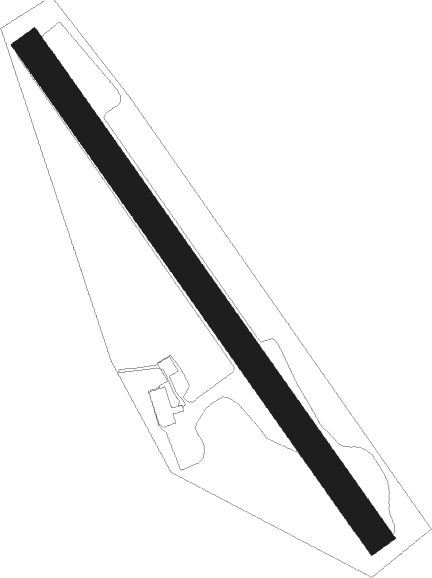
Katrineholm
Airport details
| Country | Sweden |
| State | Södermanlands län |
| Region | ES |
| Airspace | Sweden Ctr |
| Municipality | Katrineholms kommun |
| Elevation | 131ft (40m) |
| Timezone | GMT +1 |
| Coordinates | 59.02222, 16.22028 |
| Magnetic var | |
| Type | land |
| Available since | X-Plane v10.40 |
| ICAO code | ESVK |
| IATA code | n/a |
| FAA code | n/a |
Communication
Nearby Points of Interest:
Katrineholms stad
-Sandbäckskyrkan
-Glysas grav
-Östra Vingåkers socken
-Claestorp Castle
-Floda socken
-Stora Malms socken
-Spetebyhall
-Sköldinge socken
-Lerbo socken
-Sö 65
-Sö 62
-Julita socken
-Julita kyrka
-Österåkers socken, Södermanland
-Österåkers kyrka, Södermanland
-Julita Abbey
-Stenhammar skans
-Södermanlands runinskrifter 73
-Västra Vingåkers socken
-Vadsbro socken
-Mellösa socken
-Hälleforsnäs kyrka
-Skedevi kyrka
-Skedevi socken
Nearby beacons
| code | identifier | dist | bearing | frequency |
|---|---|---|---|---|
| LX | ESKILSTUNA NDB | 21.4 | 63° | 402 |
| NW | SKAVSTA (STOCKHOLM) NDB | 22.4 | 113° | 364 |
| ON | NORRKOPING NDB | 26.7 | 160° | 324 |
| PEO | SKAVSTA (STOCKHOLM) NDB | 28.9 | 105° | 398 |
| RD | VAESTERAAS AB (STOCKHOLM) NDB | 32 | 38° | 419 |
| ARS | AROS VOR/DME | 36.3 | 37° | 112.80 |
| OL | SAAB (LINKOPING) NDB | 40.7 | 213° | 415 |
| LE | VAESTERAAS AB (STOCKHOLM) NDB | 40.8 | 35° | 333 |
| SC | SAAB (LINKOPING) NDB | 41 | 229° | 300 |
| VSN | VASSEN VOR/DME | 46 | 215° | 115.25 |
| LCF | MALMEN (LINKOPING) NDB | 48 | 227° | 285 |
Disclaimer
The information on this website is not for real aviation. Use this data with the X-Plane flight simulator only! Data taken with kind consent from X-Plane 12 source code and data files. Content is subject to change without notice.