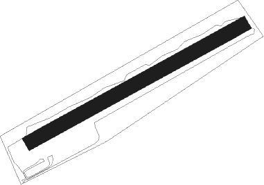
Köping - Köping Gålby
Airport details
| Country | Sweden |
| State | Västmanlanda län |
| Region | ES |
| Airspace | Sweden Ctr |
| Municipality | Köpings kommun |
| Elevation | 23ft (7m) |
| Timezone | GMT +1 |
| Coordinates | 59.52750, 15.96972 |
| Magnetic var | |
| Type | land |
| Available since | X-Plane v10.40 |
| ICAO code | ESVQ |
| IATA code | n/a |
| FAA code | n/a |
Communication
Nearby Points of Interest:
Köpings socken
-Köping
-Nyströmska gården
-Bro kyrka
-Valsta säteri
-Odensvi socken, Västmanland
-Himmeta socken
-Himmeta kyrka
-Björskog
-Munktorps socken
-Kungs-Barkarö socken
-Kolsva socken
-Värperör
-Berg socken
-Kung Karls socken
-Södermanlands runinskrifter 336
-Medåkers socken
-Kolbäcks socken
-Strömsholm Canal
-Arboga stad
-Arboga socken
-Västra Skedvi kyrka
-Västra Skedvi socken
-Årby grave field
-Torpa socken
Nearby beacons
| code | identifier | dist | bearing | frequency |
|---|---|---|---|---|
| RD | VAESTERAAS AB (STOCKHOLM) NDB | 19.3 | 91° | 419 |
| ARS | AROS VOR/DME | 21 | 85° | 112.80 |
| LE | VAESTERAAS AB (STOCKHOLM) NDB | 22.6 | 79° | 333 |
| LX | ESKILSTUNA NDB | 27.3 | 109° | 402 |
| EN | OREBRO NDB | 31 | 255° | 400 |
| RB | OREBRO NDB | 37.8 | 248° | 375 |
| NW | SKAVSTA (STOCKHOLM) NDB | 51.1 | 133° | 364 |
| LM | BORLANGE NDB | 53 | 336° | 397 |
| BOR | BORLANGE VOR/DME | 55.3 | 333° | 117.60 |
| ON | NORRKOPING NDB | 58 | 156° | 324 |
| BL | BORLANGE NDB | 59 | 329° | 421 |
Disclaimer
The information on this website is not for real aviation. Use this data with the X-Plane flight simulator only! Data taken with kind consent from X-Plane 12 source code and data files. Content is subject to change without notice.