Altenstadt - Altenstadt Ab
Airport details
| Country | Germany |
| State | Bavaria |
| Region | ED |
| Airspace | Munich Ctr |
| Municipality | Altenstadt |
| Elevation | 2423ft (739m) |
| Timezone | GMT +1 |
| Coordinates | 47.83552, 10.87126 |
| Magnetic var | |
| Type | land |
| Available since | X-Plane v10.32 |
| ICAO code | ETHA |
| IATA code | n/a |
| FAA code | n/a |
Communication
| Altenstadt AB Altenstadt Tower | 122.100 |
Nearby Points of Interest:
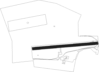
Altenstadt Air Base
-Pfarrkirche Mariä Himmelfahrt
-Schloss Schongau
-Pfarrkirche Mariä Himmelfahrt (Schongau)
-St Ursula
-Pfarrhaus
-Haustüren
-Bildstock (Denklingen)
-Burgstall Rauenlechsberg
-Forsthaus
-St. Nikolaus (Reichling)
-Bahnhofstrasse 1
-Hauptstollen Hohenpeißenberg
-Burgstall bei Burgstall (Wessobrunn)
-Pfarrhaus (Ludenhausen)
-Wallfahrtskirche Mariä Heimsuchung
-St. Johann Baptist (Asch)
-Schmiede (Lechmühlen)
-Auerbergmuseum im Kiebelehaus
-Ensemble Ortskern Bernbeuren
-Mariensäule
-Burgstall Peißenberg
-Saint John of Nepomuk Chapel (Günther, Bernbeuren)
-Steingaden Abbey
Nearby beacons
| code | identifier | dist | bearing | frequency |
|---|---|---|---|---|
| LCH | LECHFELD TACAN | 21.3 | 358° | 108.80 |
| KPT | KEMPTEN VOR/DME | 21.7 | 260° | 108.40 |
| OBI | OBERPFAFFENHOFEN NDB | 22.2 | 59° | 429 |
| ALG | ALLGAEU (MEMMINGEN) NDB | 26.3 | 285° | 341 |
| ALD | (MEMMINGEN/ALLGAU) DME | 27.3 | 283° | 117.20 |
| MAH | MAISACH VOR/DME | 31.2 | 46° | 115.20 |
| AGB | AUGSBURG NDB | 35.4 | 6° | 318 |
| AUG | DME | 35.5 | 6° | 115.90 |
| RUM | RUM NDB | 41.3 | 133° | 320 |
| INN | INNSBRUCK NDB | 42.2 | 139° | 420 |
| OTT | OTTERSBERG VOR/DME | 43.2 | 70° | 112.30 |
| MSE | MUNICH NDB | 43.3 | 58° | 358 |
| PAT | DME | 44.5 | 137° | 112 |
| LUP | LAUPHEIM NDB | 44.8 | 292° | 407 |
| MNE | MUNICH NDB | 44.9 | 57° | 369 |
| WLD | WALDA VOR/DME | 45.8 | 19° | 112.80 |
| DMS | DME | 47.3 | 61° | 115 |
| DMN | DME | 48.8 | 60° | 116 |
| MIQ | MIKE NDB | 52.8 | 45° | 426 |
| NEU | NEUBURG TACAN | 54.3 | 21° | 108.90 |
| IGL | INGOLSTADT TACAN | 59.9 | 38° | 111.40 |
| IGL | INGOLSTADT NDB | 62.3 | 41° | 345 |
Disclaimer
The information on this website is not for real aviation. Use this data with the X-Plane flight simulator only! Data taken with kind consent from X-Plane 12 source code and data files. Content is subject to change without notice.