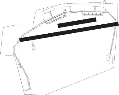
Diepholz - Diepholz Ab
Airport details
| Country | Germany |
| State | Lower Saxony |
| Region | ED |
| Airspace | Bremen Ctr |
| Municipality | Diepholz |
| Elevation | 125ft (38m) |
| Timezone | GMT +1 |
| Coordinates | 52.58033, 8.33197 |
| Magnetic var | |
| Type | land |
| Available since | X-Plane v10.30 |
| ICAO code | ETND |
| IATA code | n/a |
| FAA code | n/a |
Communication
| Diepholz AB BREMEN INFO | 119.825 |
| Diepholz AB Diepholz tower | 122.100 |
| Diepholz AB BREMEN RADAR | 124.650 |
Nearby Points of Interest:
St. Johannes Baptist
-Martin-Luther-Kirche
-Heilig-Kreuz-Kapelle
-Sankt Johannes der Täufer, Bohmte
-Burg Rahden
-Heeker Klause
-Kloster Bersenbrück
-St. Marien
-St. Sylvester
-St. Anna (Twistringen)
-Giersfeld
-Visbeker Braut und Bräutigam
-Gut Hudenbeck
-Freibad Lübbecke
-Nonnenstein Observation Tower
-Georgskirche Warmsen
-Liebfrauenkirche
-Horse mill Oberbauerschaft
-Burg Freudenberg (Bassum)
-Stadthaus
-Dorfkirche Uchte
-Holter Kirche
-Jüdischer Friedhof
-Schloss Bruche

Nearby beacons
| code | identifier | dist | bearing | frequency |
|---|---|---|---|---|
| DP | DIEPHOLZ NDB | 4.4 | 85° | 325 |
| OSB | OSNABRUCK TACAN | 22.8 | 187° | 108.35 |
| OSN | OSNABRUECK VOR | 22.8 | 187° | 114.30 |
| MYN | MUENSTER/OSNABRUECK NDB | 31.9 | 232° | 371 |
| BMN | BREMEN VOR/DME | 32 | 43° | 117.45 |
| BND | DME | 32.2 | 44° | 113.65 |
| BYC | BUECKEBURG NDB | 32.7 | 111° | 368 |
| HIG | BREMEN NDB | 35 | 51° | 318 |
| MOD | DME | 35.5 | 236° | 114.05 |
| HMM | HAMM VOR/DME | 49.1 | 221° | 115.65 |
| WSN | WESER NDB | 50 | 35° | 378 |
| PAD | PADERBORN-LIPPSTADT NDB | 58.5 | 162° | 354 |
| PAD | DME-ILS | 59.2 | 164° | 108.50 |
| WTM | WITTMUNDHAFEN TACAN | 62.4 | 328° | 113.50 |
Disclaimer
The information on this website is not for real aviation. Use this data with the X-Plane flight simulator only! Data taken with kind consent from X-Plane 12 source code and data files. Content is subject to change without notice.