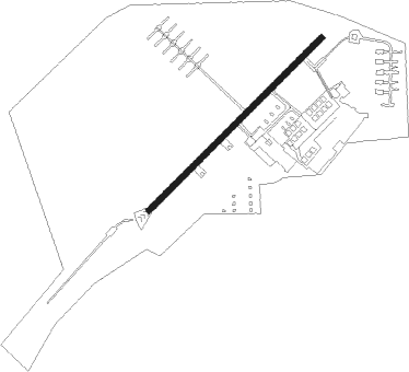
Coleman Ab (clsd)
Airport details
| Country | Germany |
| State | Baden-Württemberg |
| Region | ED |
| Airspace | Langen Ctr |
| Municipality | Mannheim |
| Elevation | 311ft (95m) |
| Timezone | GMT +1 |
| Coordinates | 49.56194, 8.46146 |
| Magnetic var | |
| Type | land |
| Available since | X-Plane v10.40 |
| ICAO code | ETOR |
| IATA code | n/a |
| FAA code | n/a |
Communication
Nearby Points of Interest:
Spiegelkolonie
-Evangelical Church
-Multihalle
-Alte Feuerwache
-Alter Schlachthof
-Friedrich-Engelhorn-Hochhaus
-Bumiller-Villa, D 7, 5
-Marktplatzbrunnen (Mannheim)
-Hauptsynagoge
-St.-Gallus-Kirche
-Lemle-Moses-Klaus
-Dreifaltigkeitskirche
-Mahlastraße 21 Frankenthal
-Altes Rathaus (Bürstadt)
-Wasserwerk Bürstadt
-Bahnhof Bürstadt
-Schleuse Feudenheim
-Pegelhaus
-Katholische Kirche
-Pauluskirche (Worms)
-Rotes Haus
-Christoffelturm, Worms
-Andreasstift
-Städtisches Hafenamt
Nearby beacons
| code | identifier | dist | bearing | frequency |
|---|---|---|---|---|
| MND | DME | 5.8 | 149° | 113.55 |
| RID | RIED VOR/DME | 13.5 | 20° | 112.20 |
| NKR | NECKAR NDB | 17.1 | 130° | 292 |
| VFM | NAUHEIM VOR | 24 | 1° | 113.75 |
| FW | FRANKFURT NDB | 26.6 | 356° | 382 |
| FRD | DME | 28.4 | 13° | 115.90 |
| WIB | WIESBADEN TACAN | 29.6 | 343° | 114.10 |
| FFM | FRANKFURT VORTAC | 30.3 | 20° | 114.20 |
| CHA | CHARLIE VOR/DME | 31.1 | 58° | 115.35 |
| FR | FRANKFURT NDB | 31.4 | 24° | 297 |
| KRH | KARLSRUHE VOR/DME | 34.5 | 168° | 115.95 |
| RMS | RAMSTEIN TACAN | 35 | 262° | 113.40 |
| TAU | TAUNUS VOR/DME | 42.9 | 337° | 113.35 |
| MTR | METRO VOR | 45.4 | 28° | 110 |
| KBA | KARLSRUHE/BADEN-BADEN NDB | 48 | 205° | 431 |
| KBD | DME | 49.1 | 206° | 115.80 |
| LBU | LUBURG VOR/DME | 52 | 126° | 109.20 |
| GED | GEDERN VORTAC | 59.4 | 43° | 110.80 |
| SGD | DME | 60.4 | 139° | 115.45 |
| STG | STUTTGART VOR/DME | 60.6 | 137° | 116.85 |
| TGO | TANGO TACAN | 64.7 | 140° | 112.50 |
| SE | STRASBOURG NDB | 65.4 | 218° | 412 |
Disclaimer
The information on this website is not for real aviation. Use this data with the X-Plane flight simulator only! Data taken with kind consent from X-Plane 12 source code and data files. Content is subject to change without notice.