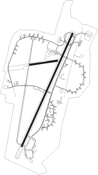
Lechfeld
Airport details
| Country | Germany |
| State | Bavaria |
| Region | ED |
| Airspace | Munich Ctr |
| Municipality | Untermeitingen |
| Elevation | 1820ft (555m) |
| Timezone | GMT +1 |
| Coordinates | 48.17439, 10.85397 |
| Magnetic var | |
| Type | land |
| Available since | X-Plane v10.40 |
| ICAO code | ETSL |
| IATA code | n/a |
| FAA code | n/a |
Communication
| Lechfeld Lechfeld Tower | 135.150 |
| Lechfeld Lechfeld Radar | 129.025 |
Nearby Points of Interest:
Kloster Lechfeld
-Rectory (Kleinaitingen)
-Pfarrhaus
-rectory
-Pfarrhaus Weil
-Pfarrhaus Petzenhausen
-Kapelle St. Blasius (Egling an der Paar)
-Pfarrhaus (Kaufering)
-Wallfahrtskirche St. Leonhard (Kaufering)
-Schloss Kaltenberg
-Landsberg-Lech Air Base
-Burgstall im Viehtrieb (Straßberg)
-Schloss Lamerdingen
-Dünzelbach 50
-Torhaus
-Pfarrhaus (Hausen b. Geltendorf)
-Landsberg Prison
-Sandauer Tor
-St. Johannes am Vorderanger
-Gothic stained-glass windows of Mariä Himmelfahrt
-Christopherusfenster

Nearby beacons
| code | identifier | dist | bearing | frequency |
|---|---|---|---|---|
| LCH | LECHFELD TACAN | 0.9 | 17° | 108.80 |
| AGB | AUGSBURG NDB | 15.3 | 18° | 318 |
| AUG | DME | 15.4 | 18° | 115.90 |
| OBI | OBERPFAFFENHOFEN NDB | 18.1 | 102° | 429 |
| MAH | MAISACH VOR/DME | 19 | 79° | 115.20 |
| ALG | ALLGAEU (MEMMINGEN) NDB | 26 | 253° | 341 |
| WLD | WALDA VOR/DME | 26.6 | 34° | 112.80 |
| ALD | (MEMMINGEN/ALLGAU) DME | 27.3 | 253° | 117.20 |
| KPT | KEMPTEN VOR/DME | 32.7 | 230° | 108.40 |
| MSE | MUNICH NDB | 33.3 | 79° | 358 |
| MNE | MUNICH NDB | 34.6 | 78° | 369 |
| NEU | NEUBURG TACAN | 35.3 | 34° | 108.90 |
| LUP | LAUPHEIM NDB | 37.8 | 273° | 407 |
| MIQ | MIKE NDB | 38 | 62° | 426 |
| DMS | DME | 38.2 | 80° | 115 |
| OTT | OTTERSBERG VOR/DME | 38.5 | 90° | 112.30 |
| DMN | DME | 39.3 | 78° | 116 |
| IGL | INGOLSTADT TACAN | 43.3 | 53° | 111.40 |
| IGL | INGOLSTADT NDB | 46.2 | 55° | 345 |
| RUM | RUM NDB | 59.3 | 146° | 320 |
| INN | INNSBRUCK NDB | 60.8 | 150° | 420 |
| PAT | DME | 62.9 | 148° | 112 |
| DKB | DINKELSBUEHL VORTAC | 63 | 328° | 117.80 |
Instrument approach procedures
| runway | airway (heading) | route (dist, bearing) |
|---|---|---|
| RW21 | PESIM (143°) | PESIM 5000ft SL401 (8mi, 68°) 5000ft SL402 (8mi, 110°) 5000ft |
| RNAV | SL402 5000ft SL403 (9mi, 220°) 3500ft ETSL (7mi, 219°) 1833ft (2948mi, 193°) 2500ft PESIM (2959mi, 12°) 6000ft |
Disclaimer
The information on this website is not for real aviation. Use this data with the X-Plane flight simulator only! Data taken with kind consent from X-Plane 12 source code and data files. Content is subject to change without notice.