Vegreville
Airport details
| Country | Canada |
| State | Alberta |
| Region | |
| Airspace | Edmonton Ctr |
| Municipality | County of Minburn |
| Elevation | 2069ft (631m) |
| Timezone | GMT -7 |
| Coordinates | 53.51861, -112.03220 |
| Magnetic var | |
| Type | land |
| Available since | X-Plane v10.40 |
| ICAO code | EV3 |
| IATA code | n/a |
| FAA code | n/a |
Communication
| Vegreville CTAF/UNICOM | 122.800 |
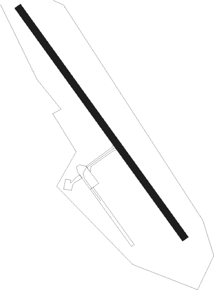
Runway info
| Runway 13 / 31 | ||
| length | 1217m (3993ft) | |
| bearing | 134° / 314° | |
| width | 30m (100ft) | |
| surface | asphalt | |
Nearby beacons
| code | identifier | dist | bearing | frequency |
|---|---|---|---|---|
| X5 | VEGREVILLE NDB | 0.3 | 151° | 225 |
| 2K | CAMROSE NDB | 40.4 | 238° | 405 |
Disclaimer
The information on this website is not for real aviation. Use this data with the X-Plane flight simulator only! Data taken with kind consent from X-Plane 12 source code and data files. Content is subject to change without notice.