Šiauliai - Siauliai Intl
Airport details
| Country | Lithuania |
| State | Siauliai County |
| Region | EY |
| Airspace | Vilnius Ctr |
| Municipality | Šiauliai |
| Elevation | 441ft (134m) |
| Timezone | GMT +2 |
| Coordinates | 55.90796, 23.38687 |
| Magnetic var | |
| Type | land |
| Available since | X-Plane v10.40 |
| ICAO code | EYSA |
| IATA code | SQQ |
| FAA code | n/a |
Communication
| Siauliai Intl Tower | 120.400 |
Approach frequencies
| ILS-cat-I | RW32R | 108.7 | 18.00mi |
| ILS-cat-I | RW14L | 108.3 | 18.00mi |
| 3° GS | RW32R | 108.7 | 18.00mi |
| 3° GS | RW14L | 108.3 | 18.00mi |
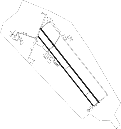
Runway info
Runway 14L / 32R  | ||
| length | 3493m (11460ft) | |
| bearing | 130° / 310° | |
| width | 45m (148ft) | |
| surface | concrete | |
| blast zone | 0m (0ft) / 17m (56ft) | |
| Runway 14R / 32L | ||
| length | 3239m (10627ft) | |
| bearing | 130° / 310° | |
| width | 32m (105ft) | |
| surface | concrete | |
Nearby beacons
| code | identifier | dist | bearing | frequency |
|---|---|---|---|---|
| SQQ | SIAULIAI TACAN | 1.1 | 138° | 116.30 |
| SAU | SIAULIAI VOR/DME | 2 | 134° | 115.20 |
| JVL | DME | 40.1 | 42° | 110 |
| KNA | KAUNAS VOR/DME | 61.4 | 144° | 114.40 |
| KUS | KAUNAS INTL NDB | 61.8 | 142° | 343 |
Instrument approach procedures
| runway | airway (heading) | route (dist, bearing) |
|---|---|---|
| RW14L | IBUGA (187°) | IBUGA 4000ft SA352 (8mi, 249°) 3000ft |
| RW14L | VAPRE (106°) | VAPRE 4000ft SA352 (5mi, 69°) 3000ft |
| RNAV | SA352 3000ft SA351 (5mi, 130°) 2300ft EYSA (6mi, 127°) 497ft (3546mi, 203°) 2300ft EVEGA (3540mi, 22°) 5000ft EVEGA (turn) 5000ft | |
| RW32R | JOLCA (302°) | JOLCA 4000ft SA452 (5mi, 285°) 3500ft |
| RW32R | ODASA (356°) | ODASA 4000ft SA452 (8mi, 69°) 3500ft |
| RNAV | SA452 3500ft SA451 (5mi, 310°) 2300ft EYSA (8mi, 312°) 491ft SA453 (5mi, 307°) 2300ft EVEGA (9mi, 245°) 5000ft EVEGA (turn) 5000ft |
Disclaimer
The information on this website is not for real aviation. Use this data with the X-Plane flight simulator only! Data taken with kind consent from X-Plane 12 source code and data files. Content is subject to change without notice.