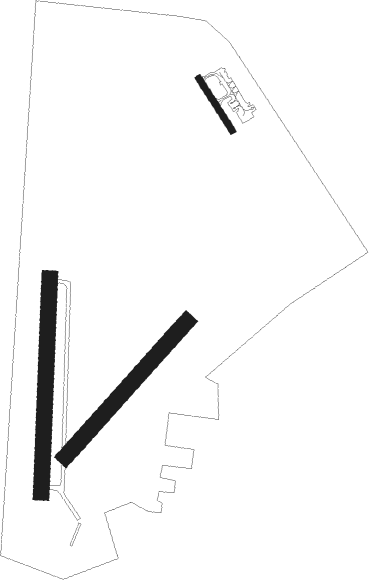
Paluknys
Airport details
| Country | Lithuania |
| State | Vilnius County |
| Region | EY |
| Airspace | Vilnius Ctr |
| Municipality | Paluknys Eldership |
| Elevation | 458ft (140m) |
| Timezone | GMT +2 |
| Coordinates | 54.48306, 24.99222 |
| Magnetic var | |
| Type | land |
| Available since | X-Plane v10.40 |
| ICAO code | EYVP |
| IATA code | n/a |
| FAA code | n/a |
Communication
Nearby Points of Interest:
Church of Saint John the Baptist in Bieniakoni

Nearby beacons
| code | identifier | dist | bearing | frequency |
|---|---|---|---|---|
| VLK | DME | 10.3 | 235° | 116.70 |
| VNO | VILNIUS VOR/DME | 13.9 | 63° | 113.80 |
| SML | DME | 15.5 | 303° | 112.50 |
| AVN | VILNIUS NDB | 16.4 | 59° | 385 |
| PBZ | DME | 28 | 29° | 117.25 |
| KUS | KAUNAS INTL NDB | 41.8 | 299° | 343 |
| KNA | KAUNAS VOR/DME | 43 | 297° | 114.40 |
| GP | HRODNA NDB | 60 | 229° | 452 |
| G | HRODNA NDB | 61.3 | 228° | 920 |
| GRD | HRODNA VOR/DME | 62 | 227° | 115.75 |
| W | HRODNA NDB | 63.5 | 226° | 920 |
| WF | HRODNA NDB | 64.8 | 225° | 452 |
Disclaimer
The information on this website is not for real aviation. Use this data with the X-Plane flight simulator only! Data taken with kind consent from X-Plane 12 source code and data files. Content is subject to change without notice.