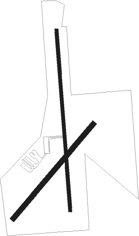
Cordell - Cordell Muni
Airport details
| Country | United States of America |
| State | Oklahoma |
| Region | K4 |
| Airspace | Ft Worth Ctr |
| Municipality | New Cordell |
| Elevation | 1586ft (483m) |
| Timezone | GMT -6 |
| Coordinates | 35.29630, -98.96772 |
| Magnetic var | |
| Type | land |
| Available since | X-Plane v10.40 |
| ICAO code | F36 |
| IATA code | n/a |
| FAA code | n/a |
Communication
| Cordell Muni CTAF/UNICOM | 122.900 |
Nearby Points of Interest:
Cordell Carnegie Public Library
-Washita County Courthouse
-Canute Service Station
-Hobart City Hall
-Downtown Hobart Historic District
-Hedlund Motor Company Building
-Storm House
-Provine Service Station
-Rock Mary
-Beckham County Courthouse
-Sayre Rock Island Depot
-J. W. Danner House
-Sayre Champlin Service Station

Nearby beacons
| code | identifier | dist | bearing | frequency |
|---|---|---|---|---|
| BFV | BURNS FLAT (CLINTON) VORTAC | 12.2 | 256° | 110 |
| BZ | FOSSI (CLINTON) NDB | 14.7 | 303° | 393 |
| HBR | HOBART VORTAC | 26.2 | 193° | 111.80 |
| LTS | ALTUS VORTAC | 40.8 | 206° | 109.80 |
| LAW | LAWTON VOR/DME | 55.2 | 145° | 109.40 |
| IFI | KINGFISHER VORTAC | 56.1 | 62° | 114.70 |
Disclaimer
The information on this website is not for real aviation. Use this data with the X-Plane flight simulator only! Data taken with kind consent from X-Plane 12 source code and data files. Content is subject to change without notice.