Eastpoint - St George Island
Airport details
| Country | United States of America |
| State | Florida |
| Region | K7 |
| Airspace | Jacksonville Ctr |
| Municipality | Franklin County |
| Elevation | 1ft (0m) |
| Timezone | GMT -5 |
| Coordinates | 29.64458, -84.91560 |
| Magnetic var | |
| Type | land |
| Available since | X-Plane v10.40 |
| ICAO code | F47 |
| IATA code | n/a |
| FAA code | n/a |
Communication
| St George Island CTAF | 122.900 |
Nearby Points of Interest:
Apalachicola Historic District
-Fort Gadsden
-St. Joseph Catholic Mission Church
-Port Theatre
-Old Sopchoppy High School Gymnasium
-Mount Beasor Primitive Baptist Church
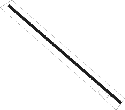
Runway info
| Runway 14 / 32 | ||
| length | 1149m (3770ft) | |
| bearing | 132° / 312° | |
| width | 20m (65ft) | |
| surface | asphalt | |
| displ threshold | 58m (190ft) / 75m (246ft) | |
Nearby beacons
| code | identifier | dist | bearing | frequency |
|---|---|---|---|---|
| PAM | TYNDALL (PANAMA CITY) TACAN | 42.8 | 303° | 133.70 |
| PFN | LYNNE (PANAMA CITY) NDB | 60.9 | 308° | 278 |
| SZW | SEMINOLE VORTAC | 61.5 | 31° | 117.50 |
Disclaimer
The information on this website is not for real aviation. Use this data with the X-Plane flight simulator only! Data taken with kind consent from X-Plane 12 source code and data files. Content is subject to change without notice.