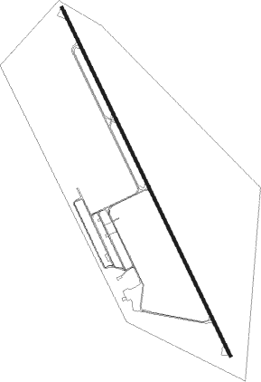
Brakpan
Airport details
| Country | South Africa |
| State | Gauteng |
| Region | FA |
| Airspace | Johannesburg Ctr |
| Municipality | City of Ekurhuleni Metropolitan Municipa |
| Elevation | 5297ft (1615m) |
| Timezone | GMT +2 |
| Coordinates | -26.23806, 28.30583 |
| Magnetic var | |
| Type | land |
| Available since | X-Plane v10.40 |
| ICAO code | FABB |
| IATA code | n/a |
| FAA code | n/a |
Communication
| Brakpan Brakpan CTAF | 128.800 |
| Brakpan Brakpan Tower | 122.700 |
Nearby Points of Interest:
Johannesburg City Library
-Chancellor House
-Witwatersrand Gold Rush
-Witkop Blockhouse
-James Mpanza House
-Van Wouw Museum
-Old Merensky Library
-Weskoppies Psychiatric Hospital
-Paardekraal Monument
-Pretoria National Botanical Garden
-Palace of Justice (South Africa)
-Ou Raadsaal
-Union Buildings
-Plovers Lake
-Coopers Cave
-Swartkrans
-Drimolen
-Gondolin Cave
-Gladysvale Cave
Nearby beacons
| code | identifier | dist | bearing | frequency |
|---|---|---|---|---|
| JSV | JOHANNESBURG VOR/DME | 6.3 | 317° | 115.20 |
| RAV | RAND (JOHANNESBURG) VOR/DME | 8.1 | 267° | 117.70 |
| RA | RAND NDB | 11.3 | 193° | 337 |
| RD | RAND (JOHANNESBURG) NDB | 12.4 | 251° | 307 |
| GC | GRAND CENTRAL NDB | 17.2 | 326° | 372 |
| WKV | WATERKLOOF VOR/DME | 24.7 | 348° | 116.90 |
| VV | VEREENIGING NDB | 27.2 | 227° | 460 |
| LIV | LANSERIA VOR/DME | 27.3 | 306° | 117.40 |
| HGV | HEIDELBERG VOR | 27.5 | 183° | 116.70 |
| LA | LANSERIA NDB | 28.6 | 296° | 270 |
| MEV | BRONKHORSTSPRUIT VOR/DME | 30.1 | 30° | 114.30 |
| WB | WONDERBOOM (PRETORIA) NDB | 34.9 | 359° | 257 |
| DPV | WONDERBOOM VOR/DME | 35.2 | 352° | 112.20 |
| WR | WONDERBOOM (PRETORIA) NDB | 35.2 | 354° | 230 |
| CZV | ZONDERWATER VOR/DME | 35.4 | 24° | 114.30 |
| GAV | GRASMERE VOR | 37.7 | 246° | 115.50 |
| STV | STANDERTON VOR | 40.8 | 129° | 116 |
| WIV | WITBANK VOR | 53.8 | 65° | 113.30 |
Disclaimer
The information on this website is not for real aviation. Use this data with the X-Plane flight simulator only! Data taken with kind consent from X-Plane 12 source code and data files. Content is subject to change without notice.