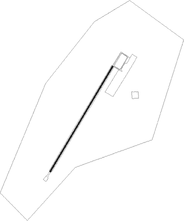
Groblersdal
Airport details
| Country | South Africa |
| State | Limpopo |
| Region | FA |
| Airspace | Johannesburg Ctr |
| Municipality | Elias Motsoaledi Local Municipality |
| Elevation | 3043ft (928m) |
| Timezone | GMT +2 |
| Coordinates | -25.18677, 29.40329 |
| Magnetic var | |
| Type | land |
| Available since | X-Plane v10.40 |
| ICAO code | FAGL |
| IATA code | n/a |
| FAA code | n/a |
Communication
| Groblersdal Groblersdal CTAF | 128.800 |
| Groblersdal Groblersdal Tower | 122.400 |
Nearby beacons
| code | identifier | dist | bearing | frequency |
|---|---|---|---|---|
| WIV | WITBANK VOR | 40.2 | 198° | 113.30 |
| CZV | ZONDERWATER VOR/DME | 55.2 | 239° | 114.30 |
| MEV | BRONKHORSTSPRUIT VOR/DME | 58.3 | 234° | 114.30 |
Disclaimer
The information on this website is not for real aviation. Use this data with the X-Plane flight simulator only! Data taken with kind consent from X-Plane 12 source code and data files. Content is subject to change without notice.