Heidelberg
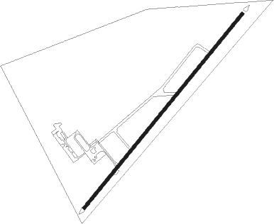
Airport details
| Country | South Africa |
| State | Gauteng |
| Region | FA |
| Airspace | Johannesburg Ctr |
| Municipality | Lesedi Local Municipality |
| Elevation | 5066ft (1544m) |
| Timezone | GMT +2 |
| Coordinates | -26.50776, 28.39101 |
| Magnetic var | |
| Type | land |
| Available since | X-Plane v10.40 |
| ICAO code | FAHG |
| IATA code | n/a |
| FAA code | n/a |
Communication
Nearby Points of Interest:
Witkop Blockhouse
-Johannesburg City Library
-Chancellor House
-Witwatersrand Gold Rush
-James Mpanza House
Nearby beacons
| code | identifier | dist | bearing | frequency |
|---|---|---|---|---|
| RA | RAND NDB | 8.4 | 303° | 337 |
| HGV | HEIDELBERG VOR | 12.7 | 210° | 116.70 |
| RD | RAND (JOHANNESBURG) NDB | 19.9 | 303° | 307 |
| RAV | RAND (JOHANNESBURG) VOR/DME | 20.2 | 318° | 117.70 |
| JSV | JOHANNESBURG VOR/DME | 22.7 | 335° | 115.20 |
| VV | VEREENIGING NDB | 23.5 | 262° | 460 |
| STV | STANDERTON VOR | 27.9 | 112° | 116 |
| GC | GRAND CENTRAL NDB | 33.7 | 334° | 372 |
| GAV | GRASMERE VOR | 38.4 | 269° | 115.50 |
| WKV | WATERKLOOF VOR/DME | 41.5 | 346° | 116.90 |
| LA | LANSERIA NDB | 42.1 | 312° | 270 |
| LIV | LANSERIA VOR/DME | 42.2 | 319° | 117.40 |
| MEV | BRONKHORSTSPRUIT VOR/DME | 44 | 13° | 114.30 |
| CZV | ZONDERWATER VOR/DME | 49.8 | 11° | 114.30 |
| WB | WONDERBOOM (PRETORIA) NDB | 51.3 | 354° | 257 |
| WR | WONDERBOOM (PRETORIA) NDB | 51.8 | 350° | 230 |
| DPV | WONDERBOOM VOR/DME | 51.9 | 349° | 112.20 |
| TU | TUTUKA NDB | 53.4 | 102° | 352 |
| WIV | WITBANK VOR | 59.4 | 50° | 113.30 |
Disclaimer
The information on this website is not for real aviation. Use this data with the X-Plane flight simulator only! Data taken with kind consent from X-Plane 12 source code and data files. Content is subject to change without notice.