Heilbron
Airport details
| Country | South Africa |
| State | Free State |
| Region | FA |
| Airspace | Johannesburg Ctr |
| Municipality | Ngwathe Local Municipality |
| Elevation | 5187ft (1581m) |
| Timezone | GMT +2 |
| Coordinates | -27.27858, 27.99258 |
| Magnetic var | |
| Type | land |
| Available since | X-Plane v10.40 |
| ICAO code | FAHO |
| IATA code | n/a |
| FAA code | n/a |
Communication
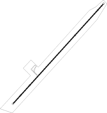
Runway info
| Runway 04 / 22 | ||
| length | 1972m (6470ft) | |
| bearing | 50° / 230° | |
| width | 12m (40ft) | |
| surface | asphalt | |
Nearby beacons
| code | identifier | dist | bearing | frequency |
|---|---|---|---|---|
| HGV | HEIDELBERG VOR | 38.2 | 27° | 116.70 |
| VV | VEREENIGING NDB | 42.7 | 357° | 460 |
| GAV | GRASMERE VOR | 48.8 | 338° | 115.50 |
| RA | RAND NDB | 53.3 | 18° | 337 |
| RD | RAND (JOHANNESBURG) NDB | 58.1 | 6° | 307 |
| STV | STANDERTON VOR | 58.4 | 56° | 116 |
| BM | BETHLEHEM NDB | 61 | 161° | 342 |
Disclaimer
The information on this website is not for real aviation. Use this data with the X-Plane flight simulator only! Data taken with kind consent from X-Plane 12 source code and data files. Content is subject to change without notice.