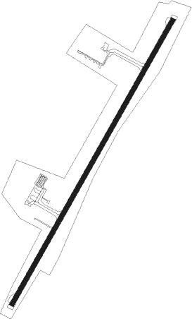
Mpumalanga - Kruger Mpumalanga Intl
Airport details
| Country | South Africa |
| State | Mpumalanga |
| Region | FA |
| Airspace | Johannesburg Ctr |
| Municipality | Mbombela |
| Elevation | 2829ft (862m) |
| Timezone | GMT +2 |
| Coordinates | -25.38649, 31.10078 |
| Magnetic var | |
| Type | land |
| Available since | X-Plane v10.40 |
| ICAO code | FAKN |
| IATA code | MQP |
| FAA code | n/a |
Communication
| Kruger Mpumalanga Intl Lowveld | 119.000 |
| Kruger Mpumalanga Intl Tower | 119.200 |
| Kruger Mpumalanga Intl Approach | 119.200 |
Approach frequencies
| ILS-cat-I | RW05 | 109.1 | 18.00mi |
| 3° GS | RW05 | 109.1 | 18.00mi |
Nearby Points of Interest:
Barberton Greenstone Belt
Nearby beacons
| code | identifier | dist | bearing | frequency |
|---|---|---|---|---|
| PK | KRUGER MPUMALANGA NDB | 0.4 | 70° | 405 |
| PKV | KRUGER MPUMALANGA VOR/DME | 0.6 | 62° | 112.50 |
| SZN | SKUKUZA NDB | 36.4 | 51° | 233 |
| VLH | VAALHOEK NDB | 40.1 | 332° | 390 |
| VSK | SIKHUPHE VOR/DME | 68.3 | 148° | 117.10 |
Departure and arrival routes
| Transition altitude | 9000ft |
| STAR starting points | distance | inbound heading | |
|---|---|---|---|
| RW05 | |||
| TILI1A | 29.4 | 39° | |
Instrument approach procedures
| runway | airway (heading) | route (dist, bearing) |
|---|---|---|
| RW05 | MASHO (36°) | MASHO 8000ft KN1T1 (6mi, 37°) 5600ft |
| RW05 | OKNIR (70°) | OKNIR 8000ft KN1T1 (6mi, 122°) 5600ft |
| RNAV | KN1T1 5600ft KN1F1 (5mi, 37°) 4100ft KN1MP (4mi, 37°) 2875ft KN1M1 (10mi, 37°) KN1M2 (16mi, 186°) MASHO (13mi, 250°) 8000ft MASHO (turn) |
Holding patterns
| STAR name | hold at | type | turn | heading* | altitude | leg | speed limit |
|---|---|---|---|---|---|---|---|
| TILI1A | TILIR | VHF | left | 271 (91)° | 11000ft - 20000ft | 1.5min timed | 220 |
| *) magnetic outbound (inbound) holding course | |||||||
Disclaimer
The information on this website is not for real aviation. Use this data with the X-Plane flight simulator only! Data taken with kind consent from X-Plane 12 source code and data files. Content is subject to change without notice.