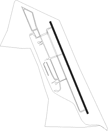
Stellenbosch - Stellenbosch (private)
Airport details
| Country | South Africa |
| State | Western Cape |
| Region | FA |
| Airspace | Cape Town Ctr |
| Municipality | Stellenbosch Local Municipality |
| Elevation | 319ft (97m) |
| Timezone | GMT +2 |
| Coordinates | -33.98138, 18.82135 |
| Magnetic var | |
| Type | land |
| Available since | X-Plane v10.40 |
| ICAO code | FASH |
| IATA code | n/a |
| FAA code | n/a |
Communication
| Stellenbosch (Private) airport CTAF | 119.300 |
| Stellenbosch (Private) Ctaf Freaquency | 119.300 |
Nearby Points of Interest:
Boschendal
-Rondebosch Common
-Groote Schuur Hospital
-Cape Town City Hall
-Rust en Vreugd
-Tuynhuys
-National Library of South Africa
-Martin Melck House
-Huguenot Memorial Building
-Table Mountain
-Cape Floristic Region
-Bain's Kloof Pass
Nearby beacons
| code | identifier | dist | bearing | frequency |
|---|---|---|---|---|
| CTV | CAPE TOWN VOR/DME | 10.7 | 273° | 115.70 |
| CB | CAPE TOWN NDB | 13.8 | 293° | 462 |
| RIV | ROBBEN ISLAND VOR/DME | 25.2 | 292° | 117.60 |
| CDV | CALEDON VOR | 33.6 | 101° | 114.90 |
| WC | WORCESTER NDB | 35.3 | 62° | 335 |
| SVV | SOMERSVELD VOR | 47.1 | 335° | 113 |
| CSV | CERES VOR/DME | 53.5 | 40° | 114.20 |
| LWV | LANGEBAANWEG VOR/DME | 68.4 | 327° | 117 |
Disclaimer
The information on this website is not for real aviation. Use this data with the X-Plane flight simulator only! Data taken with kind consent from X-Plane 12 source code and data files. Content is subject to change without notice.