Ulundi - Prince Mangosuthu Buthelezi
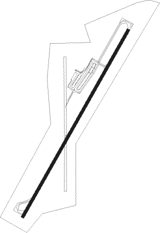
Airport details
| Country | South Africa |
| State | KwaZulu-Natal |
| Region | FA |
| Airspace | Johannesburg Ctr |
| Municipality | Ulundi Local Municipality |
| Elevation | 1720ft (524m) |
| Timezone | GMT +2 |
| Coordinates | -28.31947, 31.41706 |
| Magnetic var | |
| Type | land |
| Available since | X-Plane v10.40 |
| ICAO code | FAUL |
| IATA code | ULD |
| FAA code | n/a |
Communication
| Prince Mangosuthu Buthelezi CTAF | 124.800 |
| Prince Mangosuthu Buthelezi Ulundi Tower | 124.800 |
Nearby beacons
| code | identifier | dist | bearing | frequency |
|---|---|---|---|---|
| UL | DME | 0.3 | 38° | 115.40 |
| UD | ULUNDI NDB | 1.1 | 42° | 267 |
| UL | ULUNDI NDB | 2.1 | 218° | 422 |
| SMH | ULUNDI NDB | 6 | 37° | 457 |
| RBV | RICHARDS BAY VOR/DME | 43.7 | 122° | 113 |
| VHL | VRYHEID NDB | 46.2 | 310° | 350 |
| VHD | VRYHEID NDB | 49.1 | 307° | 230 |
| GYV | GREYTOWN VOR/DME | 65.2 | 226° | 113.50 |
Disclaimer
The information on this website is not for real aviation. Use this data with the X-Plane flight simulator only! Data taken with kind consent from X-Plane 12 source code and data files. Content is subject to change without notice.