Vereeniging
Airport details
| Country | South Africa |
| State | Gauteng |
| Region | FA |
| Airspace | Johannesburg Ctr |
| Municipality | Emfuleni Local Municipality |
| Elevation | 4846ft (1477m) |
| Timezone | GMT +2 |
| Coordinates | -26.56820, 27.96020 |
| Magnetic var | |
| Type | land |
| Available since | X-Plane v10.40 |
| ICAO code | FAVV |
| IATA code | n/a |
| FAA code | n/a |
Communication
| Vereeniging CTAF | 122.100 |
| Vereeniging Tower | 122.100 |
Nearby Points of Interest:
Witkop Blockhouse
-James Mpanza House
-Witwatersrand Gold Rush
-Chancellor House
-Johannesburg City Library
-Paardekraal Monument
-Vredefort crater
-Coopers Cave
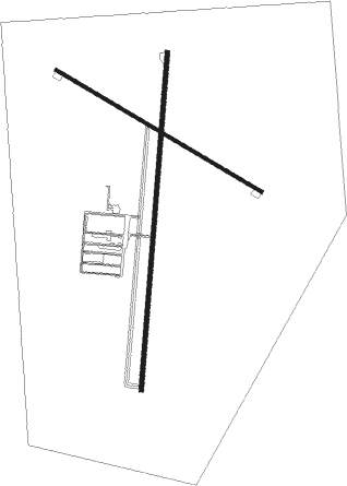
Runway info
Runway 03 / 21  | ||
| length | 1607m (5272ft) | |
| bearing | 10° / 190° | |
| width | 22m (72ft) | |
| surface | asphalt | |
| Runway 15 / 33 | ||
| length | 1136m (3727ft) | |
| bearing | 122° / 302° | |
| width | 16m (52ft) | |
| surface | asphalt | |
Nearby beacons
| code | identifier | dist | bearing | frequency |
|---|---|---|---|---|
| VV | VEREENIGING NDB | 0.1 | 292° | 460 |
| GAV | GRASMERE VOR | 15.5 | 281° | 115.50 |
| RD | RAND (JOHANNESBURG) NDB | 16.7 | 27° | 307 |
| RA | RAND NDB | 18.4 | 65° | 337 |
| HGV | HEIDELBERG VOR | 18.9 | 112° | 116.70 |
| RAV | RAND (JOHANNESBURG) VOR/DME | 22 | 31° | 117.70 |
| JSV | JOHANNESBURG VOR/DME | 28.6 | 33° | 115.20 |
| LA | LANSERIA NDB | 34.1 | 348° | 270 |
| GC | GRAND CENTRAL NDB | 35.8 | 17° | 372 |
| LIV | LANSERIA VOR/DME | 37.2 | 356° | 117.40 |
| WKV | WATERKLOOF VOR/DME | 46.3 | 19° | 116.90 |
| STV | STANDERTON VOR | 49.3 | 98° | 116 |
| DPV | WONDERBOOM VOR/DME | 56.5 | 16° | 112.20 |
| MEV | BRONKHORSTSPRUIT VOR/DME | 56.8 | 38° | 114.30 |
| WR | WONDERBOOM (PRETORIA) NDB | 56.9 | 17° | 230 |
| WB | WONDERBOOM (PRETORIA) NDB | 57.7 | 20° | 257 |
| CZV | ZONDERWATER VOR/DME | 61.6 | 34° | 114.30 |
| RG | RUSTENBURG NDB | 66.1 | 324° | 452 |
Disclaimer
The information on this website is not for real aviation. Use this data with the X-Plane flight simulator only! Data taken with kind consent from X-Plane 12 source code and data files. Content is subject to change without notice.