Witbank
Airport details
| Country | South Africa |
| State | Mpumalanga |
| Region | FA |
| Airspace | Johannesburg Ctr |
| Municipality | Emalahleni Local Municipality |
| Elevation | 5078ft (1548m) |
| Timezone | GMT +2 |
| Coordinates | -25.83347, 29.20000 |
| Magnetic var | |
| Type | land |
| Available since | X-Plane v10.40 |
| ICAO code | FAWI |
| IATA code | n/a |
| FAA code | n/a |
Communication
| Witbank Traffic | 123.500 |
Runway info
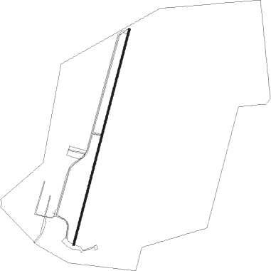
| Runway 04 / 22 | ||
| length | 1248m (4094ft) | |
| bearing | 21° / 201° | |
| width | 11m (36ft) | |
| surface | asphalt | |
Nearby beacons
| code | identifier | dist | bearing | frequency |
|---|---|---|---|---|
| WIV | WITBANK VOR | 0.3 | 307° | 113.30 |
| MEV | BRONKHORSTSPRUIT VOR/DME | 34.6 | 274° | 114.30 |
| CZV | ZONDERWATER VOR/DME | 36.1 | 282° | 114.30 |
| WB | WONDERBOOM (PRETORIA) NDB | 49.8 | 281° | 257 |
| WKV | WATERKLOOF VOR/DME | 52.9 | 270° | 116.90 |
| WR | WONDERBOOM (PRETORIA) NDB | 52.9 | 281° | 230 |
| TU | TUTUKA NDB | 53.9 | 170° | 352 |
| DPV | WONDERBOOM VOR/DME | 54 | 280° | 112.20 |
| STV | STANDERTON VOR | 54.8 | 201° | 116 |
| JSV | JOHANNESBURG VOR/DME | 55.8 | 252° | 115.20 |
| RA | RAND NDB | 61.6 | 238° | 337 |
| HGV | HEIDELBERG VOR | 71.5 | 227° | 116.70 |
Disclaimer
The information on this website is not for real aviation. Use this data with the X-Plane flight simulator only! Data taken with kind consent from X-Plane 12 source code and data files. Content is subject to change without notice.