Hukuntsi
Airport details
| Country | Botswana |
| State | Kgalagadi District |
| Region | FB |
| Airspace | Gaborone Ctr |
| Elevation | 3720ft (1134m) |
| Timezone | GMT +2 |
| Coordinates | -23.99000, 21.75800 |
| Magnetic var | |
| Type | land |
| Available since | X-Plane v10.40 |
| ICAO code | FB24 |
| IATA code | HUK |
| FAA code | n/a |
Communication
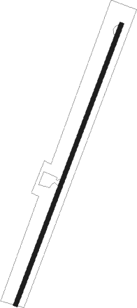
Runway info
| Runway 03 / 21 | ||
| length | 1165m (3822ft) | |
| bearing | 27° / 207° | |
| width | 18m (59ft) | |
| surface | dirt | |
| blast zone | 0m (0ft) / 13m (43ft) | |
Disclaimer
The information on this website is not for real aviation. Use this data with the X-Plane flight simulator only! Data taken with kind consent from X-Plane 12 source code and data files. Content is subject to change without notice.