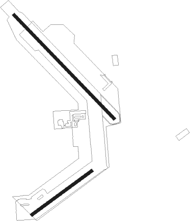
Fort Myers - Buckingham Field
Airport details
| Country | United States of America |
| State | Florida |
| Region | |
| Airspace | Miami Oceanic Ctr |
| Municipality | Lee County |
| Elevation | 20ft (6m) |
| Timezone | GMT -5 |
| Coordinates | 26.64867, -81.70924 |
| Magnetic var | |
| Type | land |
| Available since | X-Plane v10.40 |
| ICAO code | FL59 |
| IATA code | n/a |
| FAA code | FL59 |
Communication
Nearby Points of Interest:
Buckingham School
-Menge-Hansen Marine Ways
-Alva Consolidated Schools
-Alderman House
-Murphy-Burroughs House
-Old Lee County Courthouse
-William H. Towles House
-Casa Rio
-Jewett-Thompson House
-Capt. Francis A. Hendry House
-Caldwell Home Place
-Old Hendry County Courthouse
-Downtown LaBelle Historic District
-Punta Gorda Atlantic Coast Line Depot
-Villa Bianca
-Clarence L. Babcock House
-A. C. Freeman House
-Old First National Bank of Punta Gorda
-Mott Willis Store
-Captiva School and Chapel-by-the-Sea Historic District
-Tween Waters Inn Historic District
-Punta Gorda Fish Company Ice House
-Whidden's Marina
-Charlotte Harbor and Northern Railway Depot
-Downtown Boca Grande Historic District

Nearby beacons
| code | identifier | dist | bearing | frequency |
|---|---|---|---|---|
| RSW | LEE COUNTY (FORT MYERS) VORTAC | 7.9 | 209° | 111.80 |
| FM | CALOO (FORT MYERS) NDB | 15.1 | 241° | 341 |
| LBV | LA BELLE VORTAC | 20.1 | 61° | 110.40 |
| PGD | PUNTA GORDA VOR | 22 | 314° | 110.20 |
| CYY | CYPRESS (NAPLES) VOR/DME | 29.9 | 188° | 108.60 |
| SRQ | SARASOTA VOR/DME | 64.5 | 312° | 117 |
Disclaimer
The information on this website is not for real aviation. Use this data with the X-Plane flight simulator only! Data taken with kind consent from X-Plane 12 source code and data files. Content is subject to change without notice.