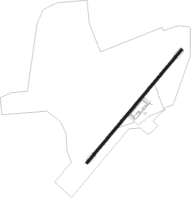
Green Cove Springs - Reynolds Airpark
Airport details
| Country | United States of America |
| State | Florida |
| Region | K7 |
| Airspace | Jacksonville Ctr |
| Municipality | Green Cove Springs |
| Elevation | 20ft (6m) |
| Timezone | GMT -5 |
| Coordinates | 29.97107, -81.65630 |
| Magnetic var | |
| Type | land |
| Available since | X-Plane v10.40 |
| ICAO code | FL60 |
| IATA code | n/a |
| FAA code | FL60 |
Communication
| Reynolds Airpark CTAF | 129.050 |
Nearby Points of Interest:
Green Cove Springs Historic District
-Clay County Courthouse
-St. Mary's Episcopal Church
-St. Margaret's Episcopal Church and Cemetery
-Memorial Home Community Historic District
-Maple Leaf
-Mandarin Store and Post Office
-Winterbourne
-Orange Park Negro Elementary School
-Joseph Green House
-Haskell-Long House
-William Clarke Estate
-William Westcott House
-George A. Chalker House
-Clark-Chalker House
-George Randolph Frisbee, Jr. House
-Frosard W. Budington House
-River Road Historic District
-William Helffrich House
-Tenney House and Groveland Hotel
-Sanchez Homestead
-Hastings Community Center
-Hastings High School
-Horace Walker House
-Nelmar Terrace Historic District
Nearby beacons
| code | identifier | dist | bearing | frequency |
|---|---|---|---|---|
| RYD | REYNOLDS (GREEN COVE SPRINGS) NDB | 0.2 | 198° | 338 |
| NIP | JACKSONVILLE TACAN | 15.8 | 356° | 108.20 |
| SGJ | SAINT AUGUSTINE VOR/DME | 16.9 | 93° | 109.40 |
| NZC | CECIL TACAN | 18.6 | 319° | 114.10 |
| CRG | CRAIG (JACKSONVILLE) VORTAC | 23.3 | 22° | 114.50 |
| NRB | MAYPORT TACAN | 27.8 | 29° | 111.40 |
| JA | DINNS (JACKSONVILLE) NDB | 30.6 | 344° | 344 |
| GN | WYNDS (GAINESVILLE) NDB | 32.3 | 240° | 269 |
| GNV | GATORS VORTAC | 36.2 | 246° | 116.20 |
| OMN | ORMOND BEACH VORTAC | 49.1 | 141° | 112.60 |
| LCQ | LAKE CITY NDB | 49.6 | 283° | 204 |
| OCF | OCALA VORTAC | 56.1 | 216° | 113.70 |
| TAY | TAYLOR VORTAC | 56.4 | 301° | 112.90 |
Disclaimer
The information on this website is not for real aviation. Use this data with the X-Plane flight simulator only! Data taken with kind consent from X-Plane 12 source code and data files. Content is subject to change without notice.