Arrachart
Airport details
| Country | Madagascar |
| State | Diana Region |
| Region | FM |
| Airspace | Antananarivo Ctr |
| Elevation | 374ft (114m) |
| Timezone | GMT +3 |
| Coordinates | -12.35111, 49.29417 |
| Magnetic var | |
| Type | land |
| Available since | X-Plane v10.32 |
| ICAO code | FMNA |
| IATA code | DIE |
| FAA code | n/a |
Communication
| Arrachart AFIS INFO | 118.100 |
Nearby Points of Interest:
Pain de Sucre
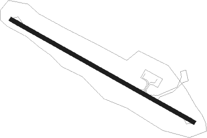
Runway info
| Runway 13 / 31 | ||
| length | 1513m (4964ft) | |
| bearing | 123° / 303° | |
| width | 30m (98ft) | |
| surface | asphalt | |
| blast zone | 32m (105ft) / 31m (102ft) | |
Nearby beacons
| code | identifier | dist | bearing | frequency |
|---|---|---|---|---|
| DI | DME | 0.1 | 26° | 112.10 |
| DO | ARRACHART NDB | 0.3 | 315° | 390 |
Disclaimer
The information on this website is not for real aviation. Use this data with the X-Plane flight simulator only! Data taken with kind consent from X-Plane 12 source code and data files. Content is subject to change without notice.