Malanje
Airport details
| Country | Angola |
| State | Malanje Province |
| Region | FN |
| Airspace | Luanda Ctr |
| Municipality | Malanje |
| Elevation | 3868ft (1179m) |
| Timezone | GMT +1 |
| Coordinates | -9.52816, 16.31970 |
| Magnetic var | |
| Type | land |
| Available since | X-Plane v10.40 |
| ICAO code | FNMA |
| IATA code | MEG |
| FAA code | n/a |
Communication
| Malanje AFIS | 118.900 |
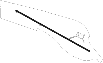
Runway info
| Runway 13 / 31 | ||
| length | 2203m (7228ft) | |
| bearing | 123° / 303° | |
| width | 32m (105ft) | |
| surface | asphalt | |
| blast zone | 61m (200ft) / 61m (200ft) | |
Nearby beacons
| code | identifier | dist | bearing | frequency |
|---|---|---|---|---|
| MA | MALANGE NDB | 2.7 | 89° | 293 |
Disclaimer
The information on this website is not for real aviation. Use this data with the X-Plane flight simulator only! Data taken with kind consent from X-Plane 12 source code and data files. Content is subject to change without notice.