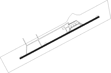
Namibe - Welwitschia Mirabilis
Airport details
| Country | Angola |
| State | Namibe Province |
| Region | FN |
| Airspace | Luanda Ctr |
| Municipality | Moçâmedes |
| Elevation | 208ft (63m) |
| Timezone | GMT +1 |
| Coordinates | -15.25950, 12.14883 |
| Magnetic var | |
| Type | land |
| Available since | X-Plane v10.40 |
| ICAO code | FNMO |
| IATA code | MSZ |
| FAA code | n/a |
Communication
| Welwitschia Mirabilis AFIS | 118.100 |
Nearby beacons
| code | identifier | dist | bearing | frequency |
|---|---|---|---|---|
| VMO | NAMIBE VOR/DME | 1 | 70° | 114.10 |
Instrument approach procedures
| runway | airway (heading) | route (dist, bearing) |
|---|---|---|
| RW08 | MO101 (67°) | MO101 MO104 (5mi, 67°) 2000ft |
| RW08 | MO102 (42°) | MO102 MO104 (5mi, 336°) 2000ft |
| RW08 | MO103 (91°) | MO103 MO104 (5mi, 156°) 2000ft |
| RNAV | MO104 2000ft MO105 (5mi, 67°) 1800ft MO106 (5mi, 67°) 244ft MO107 (16mi, 67°) 3000ft MO107 (turn) 3000ft | |
| RW26 | MO107 (247°) | MO107 3500ft MO110 (5mi, 247°) 3000ft |
| RW26 | MO108 (268°) | MO108 3500ft MO110 (5mi, 316°) 3000ft |
| RW26 | MO109 (227°) | MO109 3500ft MO110 (5mi, 176°) 3000ft |
| RW26 | MO110 (247°) | MO110 3000ft |
| RNAV | MO110 3000ft MO111 (5mi, 247°) 1810ft MO112 (5mi, 247°) 280ft MO104 (11mi, 247°) 2000ft MO104 (turn) 2000ft |
Disclaimer
The information on this website is not for real aviation. Use this data with the X-Plane flight simulator only! Data taken with kind consent from X-Plane 12 source code and data files. Content is subject to change without notice.
