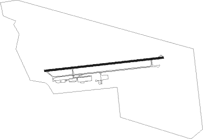
Lubango
Airport details
| Country | Angola |
| State | Huíla Province |
| Region | FN |
| Airspace | Luanda Ctr |
| Municipality | Lubango |
| Elevation | 5775ft (1760m) |
| Timezone | GMT +1 |
| Coordinates | -14.92467, 13.58767 |
| Magnetic var | |
| Type | land |
| Available since | X-Plane v10.40 |
| ICAO code | FNUB |
| IATA code | SDD |
| FAA code | n/a |
Communication
| Lubango AFIS | 118.900 |
Nearby beacons
| code | identifier | dist | bearing | frequency |
|---|---|---|---|---|
| VUB | LUBANGO VOR/DME | 0.8 | 57° | 112.30 |
Instrument approach procedures
| runway | airway (heading) | route (dist, bearing) |
|---|---|---|
| RW28 | G180P (245°) | G180P 9000ft G270L (5mi, 178°) 7600ft |
| RW28 | G270P (268°) | G270P 9000ft G270L (5mi, 269°) 7600ft |
| RW28 | G360P (291°) | G360P 9000ft G270L (5mi, 358°) 7600ft |
| RW28 | UB090 (140°) | UB090 10000ft G180P (15mi, 88°) 9000ft G270L (5mi, 178°) 7600ft |
| RNAV | G270L 7600ft G270F (5mi, 268°) 7600ft MR28 (5mi, 268°) 6016ft (1207mi, 318°) 6180ft G180P (1210mi, 137°) 9000ft |
Disclaimer
The information on this website is not for real aviation. Use this data with the X-Plane flight simulator only! Data taken with kind consent from X-Plane 12 source code and data files. Content is subject to change without notice.