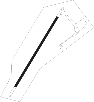
Sarh
Airport details
| Country | Chad |
| State | Moyen-Chari |
| Region | FT |
| Airspace | N'djamena Ctr |
| Municipality | Sarh |
| Elevation | 1195ft (364m) |
| Timezone | GMT +1 |
| Coordinates | 9.15117, 18.37934 |
| Magnetic var | |
| Type | land |
| Available since | X-Plane v10.40 |
| ICAO code | FTTA |
| IATA code | SRH |
| FAA code | n/a |
Communication
| SARH TOWER | 118.100 |
Instrument approach procedures
| runway | airway (heading) | route (dist, bearing) |
|---|---|---|
| RW04 | DEDOT (60°) | DEDOT RAMET (5mi, 126°) 2900ft |
| RW04 | GAGES (11°) | GAGES RAMET (5mi, 306°) 2900ft |
| RW04 | RAMET (36°) | RAMET 2900ft |
| RNAV | RAMET 2900ft TA501 (5mi, 36°) 2900ft FTTA (6mi, 36°) 1244ft TA502 (4mi, 36°) GAGES (16mi, 197°) 2900ft | |
| RW22 | BINET (189°) | BINET PIPLA (5mi, 126°) 3000ft |
| RW22 | PIPLA (216°) | PIPLA 3000ft |
| RW22 | TAPUT (242°) | TAPUT PIPLA (5mi, 306°) 3000ft |
| RNAV | PIPLA 3000ft TA503 (5mi, 216°) 3000ft FTTA (6mi, 216°) 1248ft TA504 (5mi, 216°) TAPUT (16mi, 54°) 3000ft |
Disclaimer
The information on this website is not for real aviation. Use this data with the X-Plane flight simulator only! Data taken with kind consent from X-Plane 12 source code and data files. Content is subject to change without notice.
