Binga
Airport details
| Country | Zimbabwe |
| State | Matabeleland North Province |
| Region | |
| Airspace | Harare Ctr |
| Municipality | Binga |
| Elevation | 1948ft (594m) |
| Timezone | GMT +2 |
| Coordinates | -17.65026, 27.31246 |
| Magnetic var | |
| Type | land |
| Available since | X-Plane v10.40 |
| ICAO code | FVBI |
| IATA code | n/a |
| FAA code | n/a |
Communication
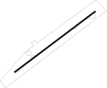
Runway info
| Runway 07 / 25 | ||
| length | 1098m (3602ft) | |
| bearing | 59° / 239° | |
| width | 18m (59ft) | |
| surface | asphalt | |
Nearby beacons
| code | identifier | dist | bearing | frequency |
|---|---|---|---|---|
| VWN | HWANGE NATIONAL PARK VOR/DME | 62.1 | 198° | 114.50 |
| WN | HWANGE NATIONAL PARK NDB | 62.2 | 198° | 393 |
Disclaimer
The information on this website is not for real aviation. Use this data with the X-Plane flight simulator only! Data taken with kind consent from X-Plane 12 source code and data files. Content is subject to change without notice.