Henties Bay
Airport details
| Country | Namibia |
| State | Erongo Region |
| Region | |
| Airspace | Windhoek Ctr |
| Municipality | Henties Bay |
| Elevation | 120ft (37m) |
| Timezone | GMT +2 |
| Coordinates | -22.10891, 14.29578 |
| Magnetic var | |
| Type | land |
| Available since | X-Plane v10.40 |
| ICAO code | FYHN |
| IATA code | n/a |
| FAA code | n/a |
Communication
Nearby Points of Interest:
Altes Gefängnis
-OMEG-Haus
-Marine-Denkmal
-New Swakopmund Station
-Woermann House
-Kramersdorf Building
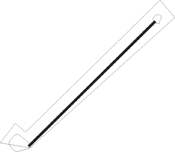
Runway info
| Runway 06 / 24 | ||
| length | 1523m (4997ft) | |
| bearing | 52° / 232° | |
| width | 20m (66ft) | |
| surface | dirt | |
Nearby beacons
| code | identifier | dist | bearing | frequency |
|---|---|---|---|---|
| WBV | WALVIS BAY VOR/DME | 55.8 | 158° | 113.60 |
Disclaimer
The information on this website is not for real aviation. Use this data with the X-Plane flight simulator only! Data taken with kind consent from X-Plane 12 source code and data files. Content is subject to change without notice.