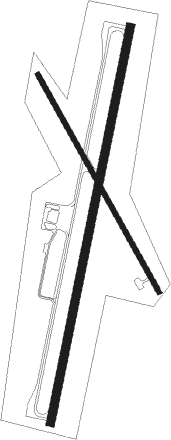
Keetmanshoop
Airport details
| Country | Namibia |
| State | Karas |
| Region | FY |
| Airspace | Windhoek Ctr |
| Elevation | 3504ft (1068m) |
| Timezone | GMT +1 |
| Coordinates | -26.53879, 18.11175 |
| Magnetic var | |
| Type | land |
| Available since | X-Plane v10.40 |
| ICAO code | FYKT |
| IATA code | KMP |
| FAA code | n/a |
Communication
| KEETMANSHOOP Tower | 118.300 |
Nearby Points of Interest:
Rhenish Mission Church
-Quiver Tree Forest
-Nai-Ams Fortification

Nearby beacons
| code | identifier | dist | bearing | frequency |
|---|---|---|---|---|
| KTV | KEETMANSHOOP VOR/DME | 0.1 | 54° | 112.90 |
Instrument approach procedures
| runway | airway (heading) | route (dist, bearing) |
|---|---|---|
| RW04 | KT04A (349°) | KT04A 5000ft KT04I (5mi, 284°) KT04F (5mi, 18°) 5000ft |
| RW04 | KT04B (18°) | KT04B 5300ft KT04I (5mi, 18°) KT04F (5mi, 18°) 5000ft |
| RW04 | KT04C (44°) | KT04C 5100ft KT04I (5mi, 104°) KT04F (5mi, 18°) 5000ft |
| RNAV | KT04F 5000ft FYKT (5mi, 18°) 3489ft KTM01 (2mi, 18°) KT04A (14mi, 174°) KT04A (turn) 5000ft | |
| RW22 | KT22D (169°) | KT22D 5100ft KT22I (5mi, 104°) KT22F (5mi, 198°) 5100ft |
| RW22 | KT22E (198°) | KT22E 5100ft KT22I (5mi, 198°) KT22F (5mi, 198°) 5100ft |
| RW22 | KT22G (224°) | KT22G 5100ft KT22I (5mi, 284°) KT22F (5mi, 198°) 5100ft |
| RNAV | KT22F 5100ft FYKT (5mi, 198°) 3556ft KTM02 (2mi, 198°) KT22G (14mi, 40°) KT22G (turn) 5100ft |
Disclaimer
The information on this website is not for real aviation. Use this data with the X-Plane flight simulator only! Data taken with kind consent from X-Plane 12 source code and data files. Content is subject to change without notice.