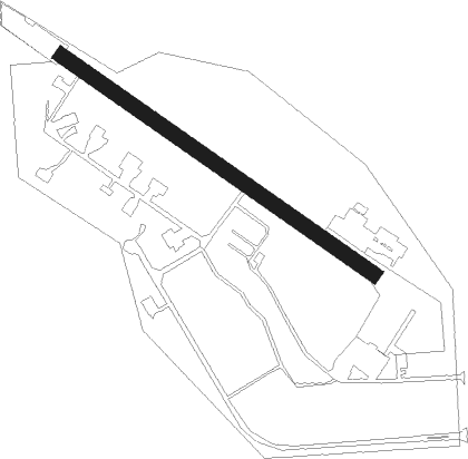
Williamson - Alexander Mem
Airport details
| Country | United States of America |
| State | Georgia |
| Region | |
| Airspace | Atlanta Ctr |
| Municipality | Pike County |
| Elevation | 924ft (282m) |
| Timezone | GMT -5 |
| Coordinates | 33.18615, -84.38183 |
| Magnetic var | |
| Type | land |
| Available since | X-Plane v10.30 |
| ICAO code | GA2 |
| IATA code | n/a |
| FAA code | GA2 |
Communication
| Alexander Mem CTAF | 122.725 |
Nearby Points of Interest:
Old Gaissert Homeplace
-Pike County Courthouse
-Bailey-Tebault House
-Hill-Kurtz House
-Sam Bailey Building
-Old Spalding County Courthouse
-Mills House
-White Oak Creek Covered Bridge
-William Barker Whiskey Bonding Barn
-Double Cabins
-Benjamin Gachet House
-Carnegie Library of Barnesville
-Barnesville Depot
-Lamar County Courthouse
-Holliday-Dorsey-Fife House
-Crawford-Dorsey House and Cemetery
-Locust Grove Institute
-Locust Grove Historic District
-Greenville Presbyterian Church and Cemetery
-Upson County Courthouse
-McFarland-Render House
-Mary Ray Memorial School
-Meriwether County Courthouse
-Greenville Historic District
-Brown House
Nearby beacons
| code | identifier | dist | bearing | frequency |
|---|---|---|---|---|
| FFC | PECAT (ATLANTA) NDB | 8.6 | 318° | 316 |
| EQQ | COWETA COUNTY (NEWNAN) NDB | 17.1 | 282° | 234 |
| OP | YATES (THOMASTON) NDB | 18.7 | 144° | 339 |
| ATL | ATLANTA VORTAC | 26.7 | 353° | 116.90 |
| AT | CATTA (ATLANTA) NDB | 28.8 | 341° | 375 |
| VOF | ALCOVY (COVINGTON) NDB | 40.1 | 54° | 370 |
| PDK | PEACHTREE (ATLANTA) VOR/DME | 41.6 | 7° | 116.60 |
| LGC | LA GRANGE VORTAC | 42.2 | 261° | 115.60 |
| GPQ | CARROLLTON NDB | 43.9 | 297° | 278 |
| DOB | DOBBINS (MARIETTA) TACAN | 44.2 | 350° | 113 |
| CSG | COLUMBUS VORTAC | 46.9 | 228° | 117.10 |
| MCN | MACON VORTAC | 47.4 | 124° | 114.20 |
| WRB | ROBINS (WARNER ROBINS) TACAN | 51.6 | 125° | 135.30 |
| IZS | MONTEZUMA NDB | 52.7 | 155° | 426 |
| CS | FENIX (COLUMBUS) NDB | 55.2 | 222° | 355 |
| TX | GWNET (LAWRENCEVILLE) NDB | 56.4 | 32° | 419 |
| LSF | LAWSON (COLUMBUS) VOR/DME | 59.8 | 216° | 111.40 |
| BMW | BARROW COUNTY (WINDER) NDB | 59.9 | 47° | 404 |
| AWS | LAWSON (COLUMBUS) NDB | 62.6 | 216° | 335 |
| RMG | ROME VORTAC | 69.2 | 323° | 115.40 |
| VNA | VIENNA VORTAC | 73.5 | 138° | 116.50 |
Disclaimer
The information on this website is not for real aviation. Use this data with the X-Plane flight simulator only! Data taken with kind consent from X-Plane 12 source code and data files. Content is subject to change without notice.