Timbuktu - Tombouctou
Airport details
| Country | Mali |
| State | Timbuktu |
| Region | GA |
| Airspace | Niamey Ctr |
| Elevation | 861ft (262m) |
| Timezone | GMT +0 |
| Coordinates | 16.73398, -2.99849 |
| Magnetic var | |
| Type | land |
| Available since | X-Plane v10.40 |
| ICAO code | GATB |
| IATA code | TOM |
| FAA code | n/a |
Communication
| TOMBOUCTOU Tower | 118.300 |
Nearby Points of Interest:
Timbuktu
-Sankore Madrasah
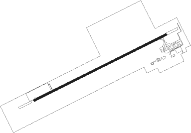
Runway info
| Runway 07 / 25 | ||
| length | 2169m (7116ft) | |
| bearing | 69° / 249° | |
| width | 30m (98ft) | |
| surface | asphalt | |
| blast zone | 60m (197ft) / 60m (197ft) | |
Instrument approach procedures
| runway | airway (heading) | route (dist, bearing) |
|---|---|---|
| RW07 | DIPTO (45°) | DIPTO 2500ft TANAX (5mi, 337°) 2500ft |
| RW07 | RIVED (92°) | RIVED 2500ft TANAX (5mi, 157°) 2500ft |
| RNAV | TANAX 2500ft TB501 (5mi, 69°) 2500ft GATB (6mi, 69°) 918ft TB502 (4mi, 69°) DIPTO (16mi, 231°) 2500ft | |
| RW25 | KIRSO (222°) | KIRSO 2500ft BIROV (5mi, 157°) 2500ft |
| RW25 | POMBI (274°) | POMBI 2500ft BIROV (5mi, 337°) 2500ft |
| RNAV | BIROV 2500ft TB503 (5mi, 249°) 2500ft GATB (5mi, 249°) 909ft TB504 (5mi, 249°) POMBI (16mi, 87°) 2500ft |
Disclaimer
The information on this website is not for real aviation. Use this data with the X-Plane flight simulator only! Data taken with kind consent from X-Plane 12 source code and data files. Content is subject to change without notice.