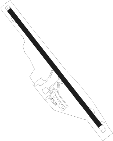
Melilla
Airport details
| Country | Spain |
| State | Melilla |
| Region | GE |
| Airspace | Casablanca Ctr |
| Elevation | 152ft (46m) |
| Timezone | GMT +1 |
| Coordinates | 35.27802, -2.95702 |
| Magnetic var | |
| Type | land |
| Available since | X-Plane v10.40 |
| ICAO code | GEML |
| IATA code | MLN |
| FAA code | n/a |
Communication
Nearby Points of Interest:
Conjunto Histórico de Melilla
-Hospital del Rey
-Fort Cabrerizas Altas
-Cape Three Forks Lighthouse
-Cape Three Forks
-Ras Lma lighthouse
Nearby beacons
| code | identifier | dist | bearing | frequency |
|---|---|---|---|---|
| MEL | MELILLA VOR/DME | 0.1 | 335° | 114.25 |
| MIA | MELILLA NDB | 1.7 | 3° | 292 |
| MLL | DME | 1.7 | 3° | 117.40 |
| ARI | NADOR VOR/DME | 17.8 | 194° | 116 |
| ALB | ALBORAN NDB | 39.8 | 353° | 519 |
| ALM | AL HOCEIMA VOR/DME | 43.7 | 264° | 115 |
| ALU | AL HOCEIMA NDB | 43.9 | 264° | 401 |
| VDO | OUJDA VOR/DME | 56.3 | 115° | 115.65 |
Disclaimer
The information on this website is not for real aviation. Use this data with the X-Plane flight simulator only! Data taken with kind consent from X-Plane 12 source code and data files. Content is subject to change without notice.