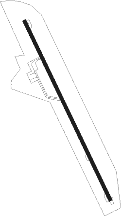
Essaouira - Essaouira Mogador Intl
Airport details
| Country | Morocco |
| State | Essaouira Province |
| Region | GM |
| Airspace | Casablanca Ctr |
| Municipality | Sidi Kaouki |
| Elevation | 381ft (116m) |
| Timezone | GMT +0 |
| Coordinates | 31.39917, -9.68306 |
| Magnetic var | |
| Type | land |
| Available since | X-Plane v10.40 |
| ICAO code | GMMI |
| IATA code | ESU |
| FAA code | n/a |
Communication
| Essaouira Mogador Intl Mogador Tower | 118.250 |
| Essaouira Mogador Intl Mogador Approach | 119.800 |
Nearby beacons
| code | identifier | dist | bearing | frequency |
|---|---|---|---|---|
| ESS | ESSAOUIRA VOR/DME | 0.2 | 299° | 112.70 |
Instrument approach procedures
| runway | airway (heading) | route (dist, bearing) |
|---|---|---|
| RW16 | KOPAB (156°) | KOPAB 3400ft MI502 (5mi, 156°) 2400ft |
| RW16 | POGIK (133°) | POGIK 3400ft MI502 (6mi, 89°) 2400ft |
| RW16 | UBITA (181°) | UBITA 3400ft MI502 (6mi, 233°) 2400ft |
| RNAV | MI502 2400ft MI504 (5mi, 156°) 2400ft MI506 (5mi, 156°) 704ft MI506 (turn) 1000ft MI708 (10mi, 268°) 2500ft POGIK (10mi, 359°) 3400ft POGIK (turn) 3400ft |
Disclaimer
The information on this website is not for real aviation. Use this data with the X-Plane flight simulator only! Data taken with kind consent from X-Plane 12 source code and data files. Content is subject to change without notice.
