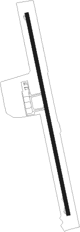
Al Hoceima - Cherif El Idrissi Intl
Airport details
| Country | Morocco |
| State | Al Hoceïma Province |
| Region | GM |
| Airspace | Casablanca Ctr |
| Municipality | Ait Youssef Ou Ali |
| Elevation | 95ft (29m) |
| Timezone | GMT +0 |
| Coordinates | 35.17972, -3.84000 |
| Magnetic var | |
| Type | land |
| Available since | X-Plane v10.40 |
| ICAO code | GMTA |
| IATA code | AHU |
| FAA code | n/a |
Communication
| Cherif El Idrissi Intl Al Hoceima Tower | 123.900 |
| Cherif El Idrissi Intl Al Hoceima Tower | 118.700 |
Nearby beacons
| code | identifier | dist | bearing | frequency |
|---|---|---|---|---|
| ALU | AL HOCEIMA NDB | 0.2 | 288° | 401 |
| ALM | AL HOCEIMA VOR/DME | 0.6 | 351° | 115 |
| ARI | NADOR VOR/DME | 41.4 | 103° | 116 |
| MEL | MELILLA VOR/DME | 43.6 | 83° | 114.25 |
| MIA | MELILLA NDB | 44 | 82° | 292 |
| MLL | DME | 44 | 82° | 117.40 |
| ALB | ALBORAN NDB | 60.1 | 47° | 519 |
| CNV | TOUAHAR NDB | 61.1 | 199° | 270 |
Instrument approach procedures
| runway | airway (heading) | route (dist, bearing) |
|---|---|---|
| RW17 | ABGIS (199°) | ABGIS 3300ft TA102 (7mi, 247°) 2400ft TA104 (5mi, 171°) 2400ft |
| RW17 | IDMEB (171°) | IDMEB 2400ft TA102 (5mi, 171°) 2400ft TA104 (5mi, 171°) 2400ft |
| RW17 | UVMOL (137°) | UVMOL 4000ft TA102 (10mi, 100°) 2400ft TA104 (5mi, 171°) 2400ft |
| RNAV | TA104 2400ft TA106 (6mi, 171°) 389ft TA106 (turn) 1200ft TA708 (6mi, 311°) 2400ft UVMOL (12mi, 316°) 4000ft UVMOL (turn) 4000ft |
Disclaimer
The information on this website is not for real aviation. Use this data with the X-Plane flight simulator only! Data taken with kind consent from X-Plane 12 source code and data files. Content is subject to change without notice.
