Aioun El Atrouss
Airport details
| Country | Mauritania |
| State | Hodh El Gharbi |
| Region | GQ |
| Airspace | Dakar Ctr |
| Municipality | Ayoun el Atrous |
| Elevation | 951ft (290m) |
| Timezone | GMT +0 |
| Coordinates | 16.71331, -9.63647 |
| Magnetic var | |
| Type | land |
| Available since | X-Plane v10.30 |
| ICAO code | GQNA |
| IATA code | AEO |
| FAA code | n/a |
Communication
| Aioun El Atrouss INFO | 118.900 |
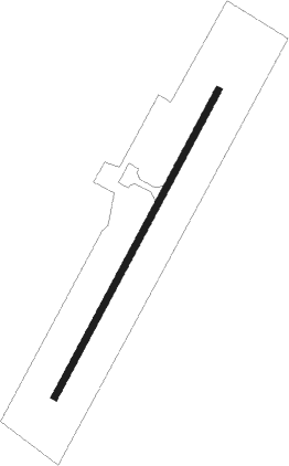
Runway info
| Runway 04 / 22 | ||
| length | 1605m (5266ft) | |
| bearing | 34° / 214° | |
| width | 30m (100ft) | |
| surface | asphalt | |
Disclaimer
The information on this website is not for real aviation. Use this data with the X-Plane flight simulator only! Data taken with kind consent from X-Plane 12 source code and data files. Content is subject to change without notice.