Berenice - Berenice Intl / Ras Banas Ab
Airport details
| Country | Egypt |
| State | Red Sea |
| Region | HE |
| Airspace | Cairo Ctr |
| Elevation | 144ft (44m) |
| Timezone | GMT +2 |
| Coordinates | 24.00336, 35.44854 |
| Magnetic var | |
| Type | land |
| Available since | X-Plane v10.40 |
| ICAO code | HE14 |
| IATA code | EES |
| FAA code | n/a |
Communication
| Berenice Intl / Ras Banas AB Ground Control | 121.925 |
| Berenice Intl / Ras Banas AB Tower | 118.500 |
| Berenice Intl / Ras Banas AB Tower | 124.350 |
| Berenice Intl / Ras Banas AB Departure | 124.350 |
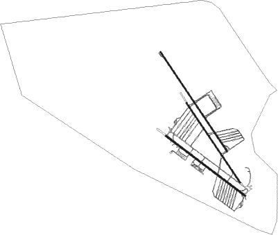
Runway info
Runway 15L / 33R  | ||
| length | 3663m (12018ft) | |
| bearing | 148° / 328° | |
| width | 45m (148ft) | |
| surface | asphalt | |
| blast zone | 61m (200ft) / 62m (203ft) | |
| Runway 15R / 33L | ||
| length | 2926m (9600ft) | |
| bearing | 148° / 328° | |
| width | 40m (131ft) | |
| surface | asphalt | |
| Runway 13 / 31 | ||
| length | 3022m (9915ft) | |
| bearing | 129° / 309° | |
| width | 45m (148ft) | |
| surface | asphalt | |
| blast zone | 0m (0ft) / 52m (171ft) | |
Nearby beacons
| code | identifier | dist | bearing | frequency |
|---|---|---|---|---|
| BRC | BERNICE VOR/DME | 0.6 | 328° | 114 |
Disclaimer
The information on this website is not for real aviation. Use this data with the X-Plane flight simulator only! Data taken with kind consent from X-Plane 12 source code and data files. Content is subject to change without notice.