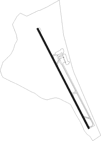
El Arish - El Arish Intl
Airport details
| Country | Egypt |
| State | North Sinai |
| Region | HE |
| Airspace | Cairo Ctr |
| Municipality | Al Arish |
| Elevation | 121ft (37m) |
| Timezone | GMT +2 |
| Coordinates | 31.07333, 33.83583 |
| Magnetic var | |
| Type | land |
| Available since | X-Plane v10.40 |
| ICAO code | HEAR |
| IATA code | AAC |
| FAA code | n/a |
Communication
| El Arish Intl Ground Control | 121.900 |
| El Arish Intl Tower | 121.000 |
| El Arish Intl RADAR | 125.000 |
| El Arish Intl RADAR | 123.725 |
Nearby beacons
| code | identifier | dist | bearing | frequency |
|---|---|---|---|---|
| ARH | EL ARISH VOR/DME | 0.2 | 265° | 113.60 |
| BSA | BEER SHEBA VOR/DME | 47.2 | 76° | 114.30 |
Disclaimer
The information on this website is not for real aviation. Use this data with the X-Plane flight simulator only! Data taken with kind consent from X-Plane 12 source code and data files. Content is subject to change without notice.