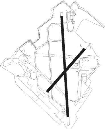
Cairo - Almaza Afb
Airport details
| Country | Egypt |
| State | Cairo |
| Region | HE |
| Airspace | Cairo Ctr |
| Elevation | 297ft (91m) |
| Timezone | GMT +2 |
| Coordinates | 30.09194, 31.35972 |
| Magnetic var | |
| Type | land |
| Available since | X-Plane v10.30 |
| ICAO code | HEAZ |
| IATA code | n/a |
| FAA code | n/a |
Communication
| Almaza AFB Tower | 132.900 |
| Almaza AFB CAIRO Tower | 118.100 |
| Almaza AFB CAIRO Tower | 119.550 |
| Almaza AFB CAIRO Approach | 119.050 |
| Almaza AFB CAIRO Approach | 119.550 |
| Almaza AFB CAIRO Approach | 120.700 |
Approach frequencies
| ILS-cat-I | RW36 | 109.3 | 18.00mi |
| 3.9° GS | RW36 | 109.3 | 18.00mi |
Nearby Points of Interest:
Gamal Eddin Youssef Istadar Mosque
-Mosque-Madrassa of Sultan Barquq
-Madrassa of Al-Nasir Muhammad
-Sultan Qaytbay Complex
-Wikala of Al-Ghuri
-Amir Khayrbak Funerary Complex
-Mosque of Qanibay al-Muhammadi
-Mosque and Khanqah of Shaykhu
-Fustat
-Giza pyramid complex
-Memphis and its Necropolis – the Pyramid Fields from Giza to Dahshur

Nearby beacons
| code | identifier | dist | bearing | frequency |
|---|---|---|---|---|
| MXR | ALMAZA TACAN | 0.1 | 276° | 116.30 |
| A | ALMAZA NDB | 1 | 181° | 490 |
| CVO | CAIRO VOR/DME | 1.4 | 89° | 115.20 |
| ALI | CAIRO NDB | 4.6 | 19° | 310 |
| CAI | CAIRO VOR/DME | 4.9 | 47° | 112.50 |
| MKT | MOQUATTAM NDB | 5.3 | 239° | 317 |
| OCT | OCTOBER NDB | 32.2 | 242° | 340 |
| FYM | FAYOUM VOR/DME | 65.4 | 234° | 117.30 |
Disclaimer
The information on this website is not for real aviation. Use this data with the X-Plane flight simulator only! Data taken with kind consent from X-Plane 12 source code and data files. Content is subject to change without notice.