Madīnat Sittah Uktūbar - October
Airport details
| Country | Egypt |
| State | Giza |
| Region | HE |
| Airspace | Cairo Ctr |
| Elevation | 807ft (246m) |
| Timezone | GMT +2 |
| Coordinates | 29.81222, 30.82333 |
| Magnetic var | |
| Type | land |
| Available since | X-Plane v10.40 |
| ICAO code | HEOC |
| IATA code | n/a |
| FAA code | n/a |
Communication
| October Ground Control | 121.900 |
| October Tower | 118.500 |
Nearby Points of Interest:
Memphis and its Necropolis – the Pyramid Fields from Giza to Dahshur
-Giza pyramid complex
-Fustat
-Faiyum Oasis
-Mosque and Khanqah of Shaykhu
-Mosque of Qanibay al-Muhammadi
-Amir Khayrbak Funerary Complex
-Wikala of Al-Ghuri
-Sultan Qaytbay Complex
-Madrassa of Al-Nasir Muhammad
-Mosque-Madrassa of Sultan Barquq
-Gamal Eddin Youssef Istadar Mosque
-National Research Institute of Astronomy and Geophysics
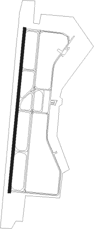
Runway info
| Runway 01 / 19 | ||
| length | 2007m (6585ft) | |
| bearing | 11° / 191° | |
| width | 35m (115ft) | |
| surface | concrete | |
| blast zone | 66m (217ft) / 60m (197ft) | |
Nearby beacons
| code | identifier | dist | bearing | frequency |
|---|---|---|---|---|
| OCT | OCTOBER NDB | 0.3 | 98° | 340 |
| MKT | MOQUATTAM NDB | 27.2 | 63° | 317 |
| A | ALMAZA NDB | 32 | 64° | 490 |
| MXR | ALMAZA TACAN | 32.4 | 62° | 116.30 |
| FYM | FAYOUM VOR/DME | 33.5 | 226° | 117.30 |
| CVO | CAIRO VOR/DME | 33.8 | 64° | 115.20 |
| ALI | CAIRO NDB | 36.1 | 58° | 310 |
| CAI | CAIRO VOR/DME | 37.3 | 60° | 112.50 |
Disclaimer
The information on this website is not for real aviation. Use this data with the X-Plane flight simulator only! Data taken with kind consent from X-Plane 12 source code and data files. Content is subject to change without notice.