Hanalei - Princeville
Airport details
| Country | United States of America |
| State | Hawaii |
| Region | PH |
| Airspace | Honolulu Control Facility Ctr |
| Municipality | Kauaʻi County |
| Elevation | 344ft (105m) |
| Timezone | GMT -10 |
| Coordinates | 22.20919, -159.44553 |
| Magnetic var | |
| Type | land |
| Available since | X-Plane v10.40 |
| ICAO code | HI01 |
| IATA code | HPV |
| FAA code | HI01 |
Communication
| Princeville CTAF | 122.900 |
| Princeville UNICOM | 122.800 |
Nearby Points of Interest:
Haraguchi Rice Mill
-Kilauea School
-Kong Lung Store
-Albert Spencer Wilcox Beach House
-Waioli Mission District
-Hawaii Route 560
-Seto Building
-Pu'u'opae Bridge
-Opaekaa Road Bridge
-Camp Sloggett
-United States Post Office–Lihue
-Lihue Civic Center Historic District
-Grove Farm
-Menehune Fishpond
-Kikiaola
-Hanapepe Town Lot No. 18
-Gulick-Rowell House
-Yamase Building
-Cook Landing Site
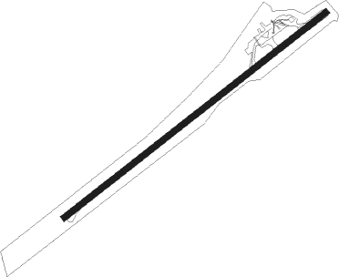
Runway info
| Runway 5 / 23 | ||
| length | 1037m (3402ft) | |
| bearing | 58° / 238° | |
| width | 18m (59ft) | |
| surface | asphalt | |
Nearby beacons
| code | identifier | dist | bearing | frequency |
|---|---|---|---|---|
| LIH | LIHUE VORTAC | 15.8 | 156° | 113.50 |
| SOK | SOUTH KAUAI VORTAC | 19.1 | 195° | 115.40 |
| NBS | BARKING SANDS (KAUAI I.) TACAN | 21.5 | 243° | 112.60 |
Disclaimer
The information on this website is not for real aviation. Use this data with the X-Plane flight simulator only! Data taken with kind consent from X-Plane 12 source code and data files. Content is subject to change without notice.