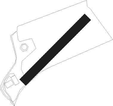
Pepeekeo - Pepeekeo Airstrip
Airport details
| Country | United States of America |
| State | Hawaii |
| Region | |
| Airspace | Honolulu Control Facility Ctr |
| Municipality | Hawaiʻi County |
| Elevation | 673ft (205m) |
| Timezone | GMT -10 |
| Coordinates | 19.84594, -155.10762 |
| Magnetic var | |
| Type | land |
| Available since | X-Plane v10.40 |
| ICAO code | HI32 |
| IATA code | n/a |
| FAA code | HI32 |
Communication
Nearby Points of Interest:
A.J. Williamson House
-Volcano Block Building
-Hilo Masonic Lodge Hall-Bishop Trust Building
-Federal Building, United States Post Office and Courthouse
-W. H. Shipman House
-S. Hata Building
-Crater Rim Trail
-Kilauea Caldera
-Ainahou Ranch
-1790 Footprints
-Puna-Ka'u Historic District
-Anna Ranch Heritage Center
-Hilina Pali Shelter
-Wilkes Campsite
-ʻĀinapō Trail
Nearby beacons
| code | identifier | dist | bearing | frequency |
|---|---|---|---|---|
| ITO | HILO VORTAC | 9.2 | 142° | 116.90 |
| POA | PAHOA NDB | 19.8 | 156° | 332 |
| BSF | BRADSHAW (POHAKULOA) NDB | 27.9 | 260° | 339 |
| MUE | KAMUELA VOR/DME | 33 | 285° | 113.30 |
| UPP | UPOLU POINT (HAWI) VORTAC | 46.6 | 296° | 112.30 |
| KOA | KONA (KAILUA/KONA) VORTAC | 53.5 | 262° | 112.10 |
Disclaimer
The information on this website is not for real aviation. Use this data with the X-Plane flight simulator only! Data taken with kind consent from X-Plane 12 source code and data files. Content is subject to change without notice.
