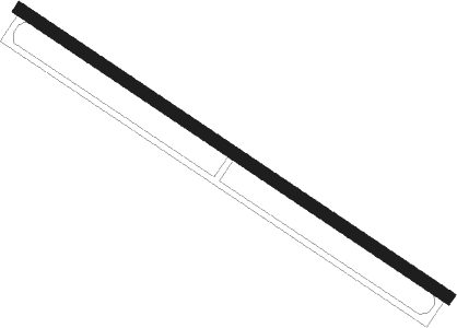
Sidi Salih
Airport details
| Country | Libya |
| State | Jafara |
| Region | |
| Airspace | Tripoli Ctr |
| Elevation | 490ft (149m) |
| Timezone | GMT +2 |
| Coordinates | 32.49753, 13.28591 |
| Magnetic var | |
| Type | land |
| Available since | X-Plane v10.40 |
| ICAO code | HL53 |
| IATA code | n/a |
| FAA code | n/a |
Communication
Nearby beacons
| code | identifier | dist | bearing | frequency |
|---|---|---|---|---|
| ABU | ABU ARGUB VOR/DME | 6.2 | 253° | 115.10 |
| PE | GAZALA (TRIPOLI) NDB | 10.2 | 347° | 390 |
| G | TRIPOLI NDB | 11.3 | 327° | 365 |
| D | TRIPOLI NDB | 13 | 315° | 435 |
| TPI | TRIPOLI VOR/DME | 13 | 315° | 114.60 |
| TW | GHARARAH (TRIPOLI) NDB | 15.4 | 305° | 301 |
| KDR | KADRA NDB | 18.5 | 112° | 429 |
| RJ | TAJOURA NDB | 23.2 | 6° | 357 |
| MTG | MITIGA VOR/DME | 23.7 | 358° | 113.40 |
| TRO | JODAY NDB | 29.2 | 303° | 328 |
| ZAW | ZAWIA VOR/DME | 36.4 | 294° | 117.70 |
| WLD | BENI WALID VOR/DME | 56.5 | 135° | 115.90 |
Disclaimer
The information on this website is not for real aviation. Use this data with the X-Plane flight simulator only! Data taken with kind consent from X-Plane 12 source code and data files. Content is subject to change without notice.
