Al Bumbah North Ab
Airport details
| Country | Libya |
| State | Derna |
| Region | HL |
| Airspace | Tripoli Ctr |
| Elevation | 33ft (10m) |
| Timezone | GMT +2 |
| Coordinates | 32.45306, 23.11861 |
| Magnetic var | |
| Type | land |
| Available since | X-Plane v10.30 |
| ICAO code | HL68 |
| IATA code | n/a |
| FAA code | n/a |
Communication
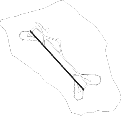
Runway info
| Runway 14 / 32 | ||
| length | 3418m (11214ft) | |
| bearing | 137° / 317° | |
| width | 45m (148ft) | |
| surface | asphalt | |
| blast zone | 250m (820ft) / 238m (781ft) | |
Nearby beacons
| code | identifier | dist | bearing | frequency |
|---|---|---|---|---|
| TBQ | TOBRUK VOR/DME | 53.9 | 127° | 112.30 |
Disclaimer
The information on this website is not for real aviation. Use this data with the X-Plane flight simulator only! Data taken with kind consent from X-Plane 12 source code and data files. Content is subject to change without notice.