Ghat
Airport details
| Country | Libya |
| State | Ghat |
| Region | HL |
| Airspace | Tripoli Ctr |
| Elevation | 2294ft (699m) |
| Timezone | GMT +2 |
| Coordinates | 25.13355, 10.13403 |
| Magnetic var | |
| Type | land |
| Available since | X-Plane v10.40 |
| ICAO code | HLGT |
| IATA code | GHT |
| FAA code | n/a |
Communication
| Ghat Tower | 118.150 |
| Ghat Tower | 132.500 |
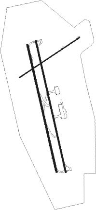
Runway info
Runway 17L / 35R  | ||
| length | 3735m (12254ft) | |
| bearing | 171° / 351° | |
| width | 43m (141ft) | |
| surface | asphalt | |
| Runway 17 / 35 | ||
| length | 3613m (11854ft) | |
| bearing | 171° / 351° | |
| width | 47m (154ft) | |
| surface | asphalt | |
| Runway 06 / 24 | ||
| length | 2008m (6588ft) | |
| bearing | 63° / 243° | |
| width | 30m (98ft) | |
| surface | asphalt | |
| displ threshold | 507m (1663ft) / 0m (0ft) | |
| blast zone | 60m (197ft) / 60m (197ft) | |
Nearby beacons
| code | identifier | dist | bearing | frequency |
|---|---|---|---|---|
| GHT | GHAT VOR/DME | 0.8 | 20° | 114.80 |
| GHT | GHAT NDB | 3.3 | 4° | 435 |
| DJA | DJANET VOR/DME | 62.9 | 219° | 114.10 |
Disclaimer
The information on this website is not for real aviation. Use this data with the X-Plane flight simulator only! Data taken with kind consent from X-Plane 12 source code and data files. Content is subject to change without notice.